East Grand Forks night lights from space
Night Light of East Grand Forks (Minnesota) from space (United States) Src. Average luminocity for 10x10km area is 53.6435% and for 50x50km: 3.7075%.
Analysis of East Grand Forks night lights 2016
Square area 10x10 km:
 16.19%
90-99
16.05%80-89
5.4%70-79
2.84%60-69
3.98%50-59
6.39%40-49
2.98%30-39
4.69%20-29
12.22%10-19
18.47%0-9
10.8%Square area 50x50 km:
0.85%90-99
0.81%80-89
0.34%70-79
0.27%60-69
0.22%50-59
0.39%40-49
0.31%30-39
0.4%20-29
1.27%10-19
2.54%0-9
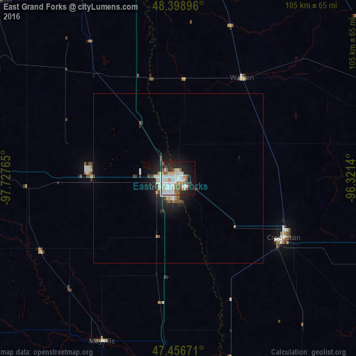
92.59%Clear (daylight) street map image can be seen on geolist.org.
Map coordinates:
48° 23' 56.3" North, 97° 43' 39.5" West
47° 55' 47.9" North, 97° 1' 28.3" West
47° 27' 24.2" North, 96° 19' 17" West
Some cities around East Grand Forks sort by population:
• Fargo
118.4 km =73.6 mi,  171°
171°
• Grand Forks
0.8 km =0.5 mi,  229°
229°
• Moorhead
119 km =73.9 mi, 170°
• West Fargo
117.7 km =73.1 mi,  175°
175°
• Thief River Falls
66.1 km =41.1 mi,  71°
71°
• Crookston
35.6 km =22.1 mi,  119°
119°
• Devils Lake
138.4 km =86 mi,  278°
278°
• Valley City
134 km =83.3 mi,  213°
213°
5024996 (p: 8,643)
Sources (retrieved 2019-11-25):
» Earth at Night: Flat Maps 2012, 2016