Turpin Hills night lights from space
Night Light of Turpin Hills (Ohio) from space (United States) Src. Average luminocity for 10x10km area is 75.7435% and for 50x50km: 54.6147%.
Analysis of Turpin Hills night lights 2016
Square area 10x10 km:
 13.47%
90-99
16.72%80-89
9.74%70-79
11.36%60-69
31.33%50-59
16.56%40-49
0.49%30-39
0.32%20-29
0%10-19
0%0-9
0%Square area 50x50 km:
11.59%90-99
12.41%80-89
7.86%70-79
10.03%60-69
9.89%50-59
8.2%40-49
4.17%30-39
3.51%20-29
5.45%10-19
8.06%0-9
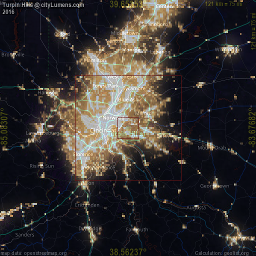
18.84%Clear (daylight) street map image can be seen on geolist.org.
Map coordinates:
39° 39' 12.7" North, 85° 4' 59.1" West
39° 6' 36.2" North, 84° 22' 47.8" West
38° 33' 44.5" North, 83° 40' 36.6" West
Some cities around Turpin Hills sort by population:
• Norwood
8.5 km =5.3 mi,  306°
306°
• Fort Thomas
7 km =4.3 mi,  236°
236°
• Forestville
4.9 km =3 mi,  142°
142°
• Dry Run
4.3 km =2.7 mi,  98°
98°
• Bellevue
8.5 km =5.3 mi,  267°
267°
• The Village of Indian Hill
8.6 km =5.3 mi,  26°
26°
• Dayton
8 km =5 mi, 272°
• Summerside
7.9 km =4.9 mi,  94°
94°
4050118 (p: 5,099)
Sources (retrieved 2019-11-25):
» Earth at Night: Flat Maps 2012, 2016