Dayton night lights from space
Night Light of Dayton (Kentucky) from space (United States) Src. Average luminocity for 10x10km area is 93.2273% and for 50x50km: 59.3926%.
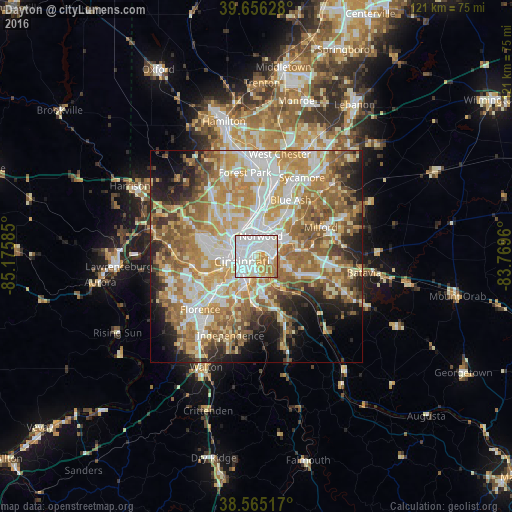
Analysis of Dayton night lights 2016
Square area 10x10 km:
 48.21%
90-99
26.79%80-89
8.44%70-79
9.9%60-69
6.33%50-59
0.32%40-49
0%30-39
0%20-29
0%10-19
0%0-9
0%Square area 50x50 km:
12.02%90-99
12.9%80-89
8.32%70-79
11.08%60-69
11.4%50-59
9.92%40-49
5.08%30-39
4.34%20-29
6.88%10-19
7.6%0-9
10.46%Clear (daylight) street map image can be seen on geolist.org.
Map coordinates:
39° 39' 22.6" North, 85° 10' 33.1" West
39° 6' 46.2" North, 84° 28' 21.8" West
38° 33' 54.6" North, 83° 46' 10.6" West
Some cities around Dayton sort by population:
• Cincinnati
3.9 km =2.4 mi,  293°
293°
• Covington
4.5 km =2.8 mi,  223°
223°
• Norwood
4.9 km =3 mi,  13°
13°
• Fort Thomas
4.7 km =2.9 mi,  152°
152°
• Newport
3.1 km =1.9 mi, 219°
• Bellevue
0.9 km =0.6 mi, 216°
• Fort Wright
8.6 km =5.3 mi, 217°
• Turpin Hills
8 km =5 mi,  92°
92°
4289629 (p: 5,433)
Sources (retrieved 2019-11-25):
» Earth at Night: Flat Maps 2012, 2016