Bellevue night lights from space
Night Light of Bellevue (Kentucky) from space (United States) Src. Average luminocity for 10x10km area is 93.2679% and for 50x50km: 58.4083%.
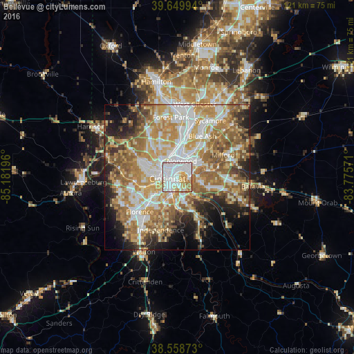
Analysis of Bellevue night lights 2016
Square area 10x10 km:
 47.56%
90-99
25.65%80-89
11.85%70-79
9.74%60-69
5.19%50-59
0%40-49
0%30-39
0%20-29
0%10-19
0%0-9
0%Square area 50x50 km:
11.73%90-99
12.59%80-89
8.17%70-79
10.98%60-69
11.18%50-59
9.73%40-49
5.01%30-39
4.47%20-29
6.96%10-19
7.45%0-9
11.73%Clear (daylight) street map image can be seen on geolist.org.
Map coordinates:
39° 38' 59.8" North, 85° 10' 55.1" West
39° 6' 23.2" North, 84° 28' 43.8" West
38° 33' 31.4" North, 83° 46' 32.6" West
Some cities around Bellevue sort by population:
• Cincinnati
3.8 km =2.4 mi,  306°
306°
• Covington
3.6 km =2.2 mi,  225°
225°
• Norwood
5.7 km =3.5 mi,  16°
16°
• Fort Thomas
4.4 km =2.7 mi,  141°
141°
• Newport
2.2 km =1.4 mi,  221°
221°
• Fort Mitchell
7.9 km =4.9 mi, 228°
• Fort Wright
7.7 km =4.8 mi, 218°
• Dayton
0.9 km =0.6 mi,  36°
36°
4283845 (p: 5,892)
Sources (retrieved 2019-11-25):
» Earth at Night: Flat Maps 2012, 2016