Norwood night lights from space
Night Light of Norwood (Ohio) from space (United States) Src. Average luminocity for 10x10km area is 96.2484% and for 50x50km: 63.0068%.
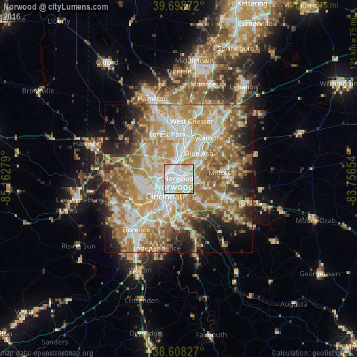
Analysis of Norwood night lights 2016
Square area 10x10 km:
 53.9%
53.9%90-99
31.82%80-89
6.17%70-79
6.82%60-69
1.3%50-59
0%40-49
0%30-39
0%20-29
0%10-19
0%0-9
0%Square area 50x50 km:
12.73%90-99
14.13%80-89
8.89%70-79
12.18%60-69
12.31%50-59
10.3%40-49
5.03%30-39
4%20-29
6.49%10-19
7.45%0-9
6.48%Clear (daylight) street map image can be seen on geolist.org.
Map coordinates:
39° 41' 55.4" North, 85° 9' 46" West
39° 9' 20.2" North, 84° 27' 34.8" West
38° 36' 29.8" North, 83° 45' 23.5" West
Some cities around Norwood sort by population:
• Cincinnati
5.7 km =3.5 mi,  236°
236°
• Newport
7.8 km =4.8 mi,  203°
203°
• Finneytown
7.2 km =4.5 mi,  313°
313°
• Reading
7.7 km =4.8 mi,  11°
11°
• Wyoming
8.4 km =5.2 mi,  356°
356°
• Bellevue
5.7 km =3.5 mi, 196°
• Deer Park
7.9 km =4.9 mi,  45°
45°
• Dayton
4.9 km =3 mi,  193°
193°
4519995 (p: 19,915)
Sources (retrieved 2019-11-25):
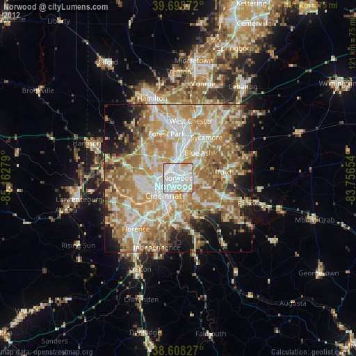
» Earth at Night: Flat Maps 2012, 2016