Forestville night lights from space
Night Light of Forestville (Ohio) from space (United States) Src. Average luminocity for 10x10km area is 65.2549% and for 50x50km: 47.4469%.
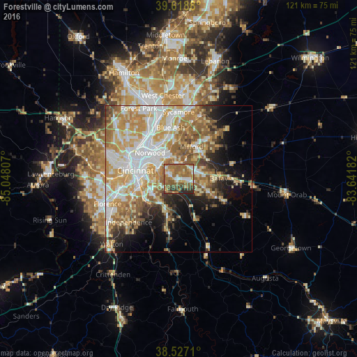
Analysis of Forestville night lights 2016
Square area 10x10 km:
 8.12%
8.12%90-99
9.09%80-89
8.93%70-79
8.77%60-69
26.62%50-59
20.78%40-49
6.49%30-39
4.22%20-29
6.98%10-19
0%0-9
0%Square area 50x50 km:
9.93%90-99
10.85%80-89
7.03%70-79
8.42%60-69
8.09%50-59
7.31%40-49
3.6%30-39
3.12%20-29
4.79%10-19
7.77%0-9
29.08%Clear (daylight) street map image can be seen on geolist.org.
Map coordinates:
39° 37' 7.7" North, 85° 2' 53.1" West
39° 4' 30.2" North, 84° 20' 41.8" West
38° 31' 37.6" North, 83° 38' 30.6" West
Some cities around Forestville sort by population:
• Fort Thomas
8.8 km =5.5 mi,  270°
270°
• Dry Run
3.5 km =2.2 mi,  21°
21°
• Highland Heights
10.3 km =6.4 mi,  243°
243°
• Withamsville
5.1 km =3.2 mi,  106°
106°
• Cold Spring
10.1 km =6.3 mi,  234°
234°
• The Village of Indian Hill
11.6 km =7.2 mi,  4°
4°
• Turpin Hills
4.9 km =3 mi,  322°
322°
• Summerside
5.9 km =3.7 mi,  55°
55°
4512083 (p: 10,532)
Sources (retrieved 2019-11-25):
» Earth at Night: Flat Maps 2012, 2016