Rice Lake night lights from space
Night Light of Rice Lake (Wisconsin) from space (United States) Src. Average luminocity for 10x10km area is 20.0873% and for 50x50km: 1.6739%.
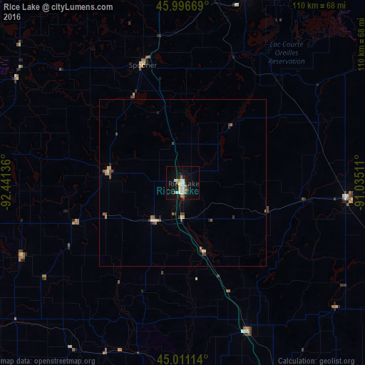
Analysis of Rice Lake night lights 2016
Square area 10x10 km:
 4.29%
4.29%90-99
3.81%80-89
2.7%70-79
1.27%60-69
3.17%50-59
1.59%40-49
0%30-39
0.79%20-29
4.13%10-19
16.35%0-9
61.9%Square area 50x50 km:
0.22%90-99
0.22%80-89
0.21%70-79
0.16%60-69
0.28%50-59
0.24%40-49
0.23%30-39
0.15%20-29
0.32%10-19
0.77%0-9
97.2%Clear (daylight) street map image can be seen on geolist.org.
Map coordinates:
45° 59' 48.1" North, 92° 26' 28.9" West
45° 30' 21.9" North, 91° 44' 17.6" West
45° 0' 40.1" North, 91° 2' 6.4" West
Some cities around Rice Lake sort by population:
• Eau Claire
79.5 km =49.4 mi,  166°
166°
• Stillwater
97.4 km =60.5 mi,  239°
239°
• Menomonie
71.5 km =44.4 mi,  191°
191°
• Chippewa Falls
68.8 km =42.8 mi,  156°
156°
• North Branch
96.8 km =60.1 mi,  270°
270°
• New Richmond
75.6 km =47 mi, 235°
• Altoona
81.3 km =50.5 mi, 163°
• Lake Hallie
73.9 km =45.9 mi, 161°
5268798 (p: 8,391)
Sources (retrieved 2019-11-25):
» Earth at Night: Flat Maps 2012, 2016