Ashland night lights from space
Night Light of Ashland (Wisconsin) from space (United States) Src. Average luminocity for 10x10km area is 11.821% and for 50x50km: 0.6213%.
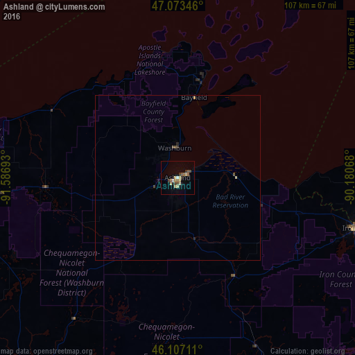
Analysis of Ashland night lights 2016
Square area 10x10 km:
 0.57%
0.57%90-99
1.14%80-89
3.41%70-79
0.57%60-69
2.13%50-59
1.85%40-49
1.42%30-39
1.99%20-29
1.14%10-19
1.56%0-9
84.23%Square area 50x50 km:
0.02%90-99
0.05%80-89
0.16%70-79
0.05%60-69
0.09%50-59
0.12%40-49
0.11%30-39
0.09%20-29
0.13%10-19
0.06%0-9
99.12%Clear (daylight) street map image can be seen on geolist.org.
Map coordinates:
47° 4' 24.5" North, 91° 35' 12.9" West
46° 35' 32.8" North, 90° 53' 1.7" West
46° 6' 25.6" North, 90° 10' 50.4" West
Some cities around Ashland sort by population:
• Duluth
95.6 km =59.4 mi,  282°
282°
• Superior
94.2 km =58.5 mi, 278°
• Cloquet
121.1 km =75.2 mi, 276°
• Hermantown
106 km =65.9 mi, 282°
• Virginia
162.4 km =100.9 mi,  309°
309°
• Rice Lake
137.6 km =85.5 mi,  208°
208°
• Rhinelander
155.4 km =96.6 mi,  133°
133°
• Ironwood
56.6 km =35.2 mi,  105°
105°
5244247 (p: 8,040)
Sources (retrieved 2019-11-25):
» Earth at Night: Flat Maps 2012, 2016