East Village night lights from space
Night Light of East Village (New York) from space (United States) Src. Average luminocity for 10x10km area is 98.401% and for 50x50km: 81.7598%.
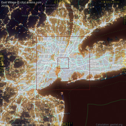
Analysis of East Village night lights 2016
Square area 10x10 km:
 85.23%
90-99
8.44%80-89
2.44%70-79
3.41%60-69
0.49%50-59
0%40-49
0%30-39
0%20-29
0%10-19
0%0-9
0%Square area 50x50 km:
47.66%90-99
20.15%80-89
5.48%70-79
5.07%60-69
3.17%50-59
1.66%40-49
1.79%30-39
2.15%20-29
3.53%10-19
3.59%0-9
5.75%Clear (daylight) street map image can be seen on geolist.org.
Map coordinates:
41° 15' 35.9" North, 74° 41' 25.8" West
40° 43' 45.4" North, 73° 59' 14.5" West
40° 11' 39.5" North, 73° 17' 3.3" West
Some cities around East Village sort by population:
• New York City
2.3 km =1.4 mi,  223°
223°
• Financial District
3 km =1.9 mi, 216°
• Hell's Kitchen
4 km =2.5 mi,  355°
355°
• Greenpoint
3.1 km =1.9 mi,  101°
101°
• Williamsburg
3.3 km =2.1 mi,  120°
120°
• Gramercy Park
0.9 km =0.6 mi,  6°
6°
• Long Island City
3.7 km =2.3 mi,  62°
62°
• Brooklyn Heights
3.8 km =2.4 mi,  188°
188°
5116093 (p: 62,832)
Sources (retrieved 2019-11-25):
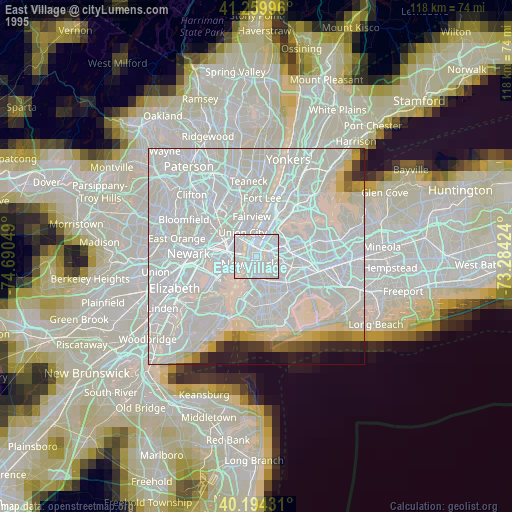
» NASA, Earths city lights 1995
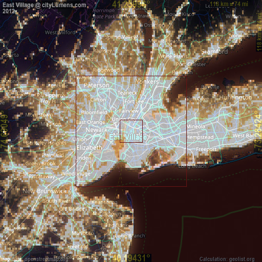
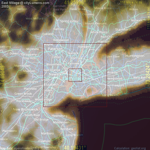
» NASA city lights 2003
» Earth at Night: Flat Maps 2012, 2016