Williamsburg night lights from space
Night Light of Williamsburg (New York) from space (United States) Src. Average luminocity for 10x10km area is 99.9497% and for 50x50km: 77.9149%.
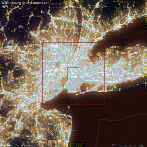
Analysis of Williamsburg night lights 2016
Square area 10x10 km:
 96.75%
90-99
3.25%80-89
0%70-79
0%60-69
0%50-59
0%40-49
0%30-39
0%20-29
0%10-19
0%0-9
0%Square area 50x50 km:
46.76%90-99
18.25%80-89
4.66%70-79
4.08%60-69
2.83%50-59
1.83%40-49
1.86%30-39
2.38%20-29
4.21%10-19
4.69%0-9
8.46%Clear (daylight) street map image can be seen on geolist.org.
Map coordinates:
41° 14' 42.3" North, 74° 39' 23.8" West
40° 42' 51.4" North, 73° 57' 12.5" West
40° 10' 45.1" North, 73° 15' 1.3" West
Some cities around Williamsburg sort by population:
• Bushwick
3.7 km =2.3 mi,  127°
127°
• East Village
3.3 km =2.1 mi,  300°
300°
• Sunnyside
3.2 km =2 mi,  28°
28°
• Maspeth
3.6 km =2.2 mi,  73°
73°
• Greenpoint
1.1 km =0.7 mi,  11°
11°
• Gramercy Park
3.8 km =2.4 mi,  313°
313°
• Long Island City
3.4 km =2.1 mi, 6°
• Brooklyn Heights
4 km =2.5 mi,  238°
238°
5144580 (p: 33,000)
Sources (retrieved 2019-11-25):
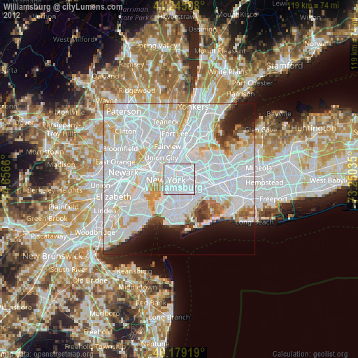
» Earth at Night: Flat Maps 2012, 2016