Greenpoint night lights from space
Night Light of Greenpoint (New York) from space (United States) Src. Average luminocity for 10x10km area is 99.9675% and for 50x50km: 79.0959%.
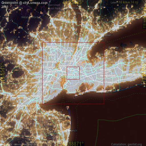
Analysis of Greenpoint night lights 2016
Square area 10x10 km:
 97.73%
90-99
2.27%80-89
0%70-79
0%60-69
0%50-59
0%40-49
0%30-39
0%20-29
0%10-19
0%0-9
0%Square area 50x50 km:
47.05%90-99
18.77%80-89
4.87%70-79
4.23%60-69
2.99%50-59
1.86%40-49
1.85%30-39
2.37%20-29
4.18%10-19
4.72%0-9
7.11%Clear (daylight) street map image can be seen on geolist.org.
Map coordinates:
41° 15' 16" North, 74° 39' 14.8" West
40° 43' 25.4" North, 73° 57' 3.5" West
40° 11' 19.4" North, 73° 14' 52.3" West
Some cities around Greenpoint sort by population:
• Bushwick
4.3 km =2.7 mi,  140°
140°
• East Village
3.1 km =1.9 mi,  281°
281°
• Sunnyside
2.2 km =1.4 mi,  36°
36°
• Maspeth
3.2 km =2 mi,  91°
91°
• Woodside
4.5 km =2.8 mi,  57°
57°
• Williamsburg
1.1 km =0.7 mi,  191°
191°
• Gramercy Park
3.3 km =2.1 mi,  297°
297°
• Long Island City
2.4 km =1.5 mi,  4°
4°
5119383 (p: 34,719)
Sources (retrieved 2019-11-25):
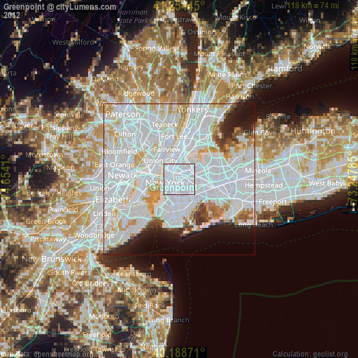
» Earth at Night: Flat Maps 2012, 2016