Sturgis night lights from space
Night Light of Sturgis (South Dakota) from space (United States) Src. Average luminocity for 10x10km area is 17.1794% and for 50x50km: 1.9768%.
Analysis of Sturgis night lights 2016
Square area 10x10 km:
 2.06%
2.06%90-99
3.02%80-89
2.22%70-79
2.22%60-69
2.7%50-59
1.75%40-49
1.43%30-39
1.9%20-29
1.11%10-19
6.98%0-9
74.6%Square area 50x50 km:
0.2%90-99
0.3%80-89
0.22%70-79
0.23%60-69
0.36%50-59
0.26%40-49
0.16%30-39
0.28%20-29
0.17%10-19
0.53%0-9
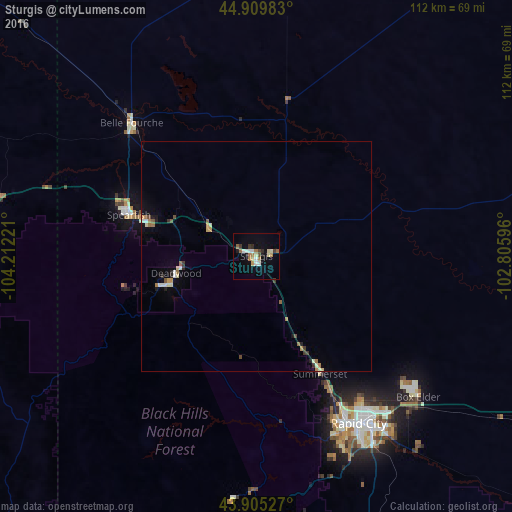
97.3%Clear (daylight) street map image can be seen on geolist.org.
Map coordinates:
44° 54' 35.4" North, 104° 12' 44" West
44° 24' 35" North, 103° 30' 32.7" West
43° 54' 19" North, 102° 48' 21.5" West
Some cities around Sturgis sort by population:
• Rapid City
42.8 km =26.6 mi,  148°
148°
• Gillette
159 km =98.8 mi,  265°
265°
• Spearfish
29.2 km =18.1 mi,  287°
287°
• Box Elder
48.2 km =30 mi,  133°
133°
• Rapid Valley
48.2 km =30 mi,  143°
143°
• Douglas
237.5 km =147.6 mi,  219°
219°
• Chadron
180.4 km =112.1 mi,  166°
166°
• Belle Fourche
39.8 km =24.7 mi,  316°
316°
5769489 (p: 6,688)
Sources (retrieved 2019-11-25):
» Earth at Night: Flat Maps 2012, 2016