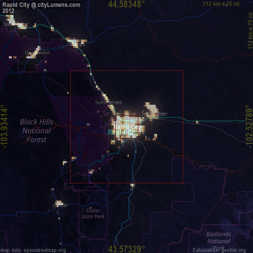
Rapid City night lights from space
Night Light of Rapid City (South Dakota) from space (United States) Src. Average luminocity for 10x10km area is 77.9439% and for 50x50km: 7.2686%.


Analysis of Rapid City night lights 2016
Square area 10x10 km:
 20.15%
90-99
25.45%80-89
12.73%70-79
8.48%60-69
9.7%50-59
8.18%40-49
4.7%30-39
5.3%20-29
5.3%10-19
0%0-9
0%Square area 50x50 km:
0.99%90-99
1.58%80-89
0.82%70-79
0.5%60-69
1.17%50-59
0.98%40-49
0.8%30-39
0.97%20-29
2.05%10-19
4.94%0-9
85.2%Clear (daylight) street map image can be seen on geolist.org.
Map coordinates:
44° 35' 0.5" North, 103° 56' 2.9" West
44° 4' 49.9" North, 103° 13' 51.6" West
43° 34' 23.8" North, 102° 31' 40.4" West
Some cities around Rapid City sort by population:
• Gillette
182.6 km =113.5 mi,  277°
277°
• Spearfish
67.7 km =42.1 mi,  312°
312°
• Box Elder
13.5 km =8.4 mi,  74°
74°
• Alliance
222 km =137.9 mi,  172°
172°
• Sturgis
42.8 km =26.6 mi,  328°
328°
• Douglas
227.5 km =141.4 mi,  229°
229°
• Chadron
140.4 km =87.2 mi, 172°
• Belle Fourche
82.2 km =51.1 mi,  323°
323°
5768233 (p: 73,569)
Sources (retrieved 2019-11-25):
» NASA, Earths city lights 1995
» NASA city lights 2003
» Earth at Night: Flat Maps 2012, 2016