Belle Fourche night lights from space
Night Light of Belle Fourche (South Dakota) from space (United States) Src. Average luminocity for 10x10km area is 9.95% and for 50x50km: 1.665%.
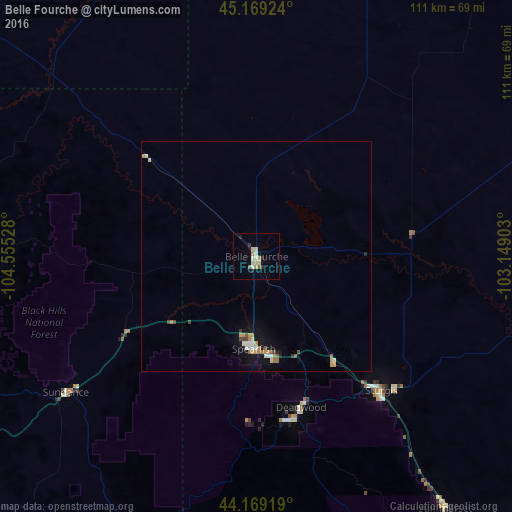
Analysis of Belle Fourche night lights 2016
Square area 10x10 km:
 0.3%
0.3%90-99
2.88%80-89
1.97%70-79
1.21%60-69
1.36%50-59
0.76%40-49
0%30-39
0.61%20-29
1.52%10-19
1.21%0-9
88.18%Square area 50x50 km:
0.14%90-99
0.29%80-89
0.19%70-79
0.27%60-69
0.32%50-59
0.16%40-49
0.18%30-39
0.12%20-29
0.1%10-19
0.94%0-9
97.27%Clear (daylight) street map image can be seen on geolist.org.
Map coordinates:
45° 10' 9.3" North, 104° 33' 19" West
44° 40' 16.9" North, 103° 51' 7.7" West
44° 10' 9.1" North, 103° 8' 56.5" West
Some cities around Belle Fourche sort by population:
• Rapid City
82.2 km =51.1 mi,  143°
143°
• Gillette
137.6 km =85.5 mi,  252°
252°
• Spearfish
20.1 km =12.5 mi,  181°
181°
• Box Elder
88 km =54.7 mi,  134°
134°
• Rapid Valley
87.9 km =54.6 mi, 140°
• Sturgis
39.8 km =24.7 mi, 136°
• Douglas
245.6 km =152.6 mi,  210°
210°
• Chadron
215.9 km =134.2 mi,  161°
161°
5762718 (p: 5,696)
Sources (retrieved 2019-11-25):
» Earth at Night: Flat Maps 2012, 2016