Chadron night lights from space
Night Light of Chadron (Nebraska) from space (United States) Src. Average luminocity for 10x10km area is 9.5061% and for 50x50km: 0.4241%.
Analysis of Chadron night lights 2016
Square area 10x10 km:
 2.27%
2.27%90-99
0.76%80-89
1.52%70-79
0.91%60-69
0.61%50-59
2.58%40-49
0.45%30-39
0.61%20-29
0%10-19
0.76%0-9
89.55%Square area 50x50 km:
0.09%90-99
0.04%80-89
0.06%70-79
0.04%60-69
0.03%50-59
0.11%40-49
0.02%30-39
0.03%20-29
0.03%10-19
0.06%0-9
99.51%Clear (daylight) street map image can be seen on geolist.org.
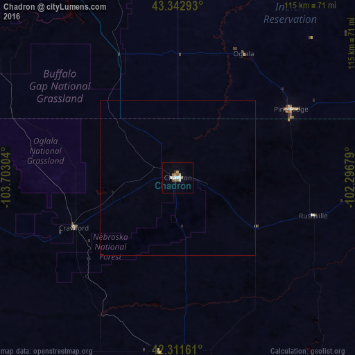
Map coordinates:
43° 20' 34.5" North, 103° 42' 10.9" West
42° 49' 45.9" North, 102° 59' 59.7" West
42° 18' 41.8" North, 102° 17' 48.4" West
Some cities around Chadron sort by population:
• Rapid City
140.4 km =87.2 mi,  352°
352°
• Scottsbluff
120.3 km =74.8 mi,  207°
207°
• Box Elder
142.8 km =88.7 mi,  357°
357°
• Alliance
81.6 km =50.7 mi,  172°
172°
• Gering
124.1 km =77.1 mi, 205°
• Rapid Valley
137.6 km =85.5 mi, 355°
• Sturgis
180.4 km =112.1 mi, 346°
• Torrington
129.3 km =80.3 mi,  228°
228°
5694163 (p: 5,775)
Sources (retrieved 2019-11-25):
» Earth at Night: Flat Maps 2012, 2016