Box Elder night lights from space
Night Light of Box Elder (South Dakota) from space (United States) Src. Average luminocity for 10x10km area is 22.3182% and for 50x50km: 7.0854%.
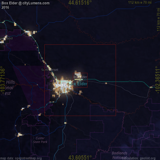
Analysis of Box Elder night lights 2016
Square area 10x10 km:
 2.12%
2.12%90-99
4.85%80-89
2.42%70-79
0%60-69
2.88%50-59
3.64%40-49
1.97%30-39
4.24%20-29
6.67%10-19
28.03%0-9
43.18%Square area 50x50 km:
0.99%90-99
1.58%80-89
0.8%70-79
0.49%60-69
1.1%50-59
0.93%40-49
0.7%30-39
0.96%20-29
2.01%10-19
4.9%0-9
85.54%Clear (daylight) street map image can be seen on geolist.org.
Map coordinates:
44° 36' 54.6" North, 103° 46' 16.9" West
44° 6' 45" North, 103° 4' 5.6" West
43° 36' 19.8" North, 102° 21' 54.4" West
Some cities around Box Elder sort by population:
• Rapid City
13.5 km =8.4 mi,  254°
254°
• Gillette
195 km =121.2 mi,  275°
275°
• Pierre
218.3 km =135.6 mi,  82°
82°
• Spearfish
75.7 km =47 mi,  303°
303°
• Rapid Valley
8.4 km =5.2 mi,  228°
228°
• Sturgis
48.2 km =30 mi,  313°
313°
• Chadron
142.8 km =88.7 mi,  177°
177°
• Belle Fourche
88 km =54.7 mi, 314°
5763011 (p: 9,289)
Sources (retrieved 2019-11-25):
» Earth at Night: Flat Maps 2012, 2016