Gillette night lights from space
Night Light of Gillette (Wyoming) from space (United States) Src. Average luminocity for 10x10km area is 55.3379% and for 50x50km: 4.5535%.
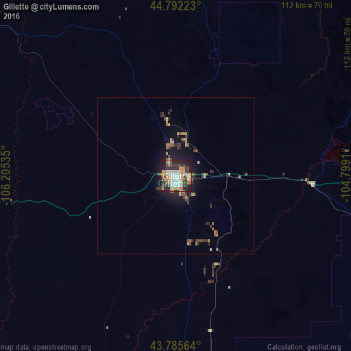
Analysis of Gillette night lights 2016
Square area 10x10 km:
 8.64%
8.64%90-99
13.64%80-89
7.58%70-79
8.64%60-69
10.15%50-59
2.58%40-49
7.12%30-39
8.64%20-29
17.12%10-19
15.76%0-9
0.15%Square area 50x50 km:
0.35%90-99
0.6%80-89
0.65%70-79
0.64%60-69
0.82%50-59
0.35%40-49
0.74%30-39
0.88%20-29
1.25%10-19
3.39%0-9
90.32%Clear (daylight) street map image can be seen on geolist.org.
Map coordinates:
44° 47' 32" North, 106° 12' 19.3" West
44° 17' 27.9" North, 105° 30' 8" West
43° 47' 8.3" North, 104° 47' 56.8" West
Some cities around Gillette sort by population:
• Rapid City
182.6 km =113.5 mi,  97°
97°
• Casper
171.3 km =106.4 mi,  202°
202°
• Sheridan
128.2 km =79.7 mi,  296°
296°
• Spearfish
132.4 km =82.3 mi,  80°
80°
• Rapid Valley
189.6 km =117.8 mi, 97°
• Sturgis
159 km =98.8 mi,  85°
85°
• Douglas
170.6 km =106 mi,  176°
176°
• Belle Fourche
137.6 km =85.5 mi,  72°
72°
5826027 (p: 32,649)
Sources (retrieved 2019-11-25):
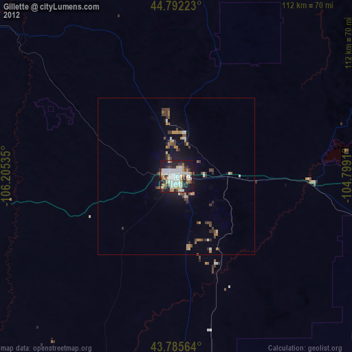
» Earth at Night: Flat Maps 2012, 2016