Rapid Valley night lights from space
Night Light of Rapid Valley (South Dakota) from space (United States) Src. Average luminocity for 10x10km area is 46.1365% and for 50x50km: 7.2061%.
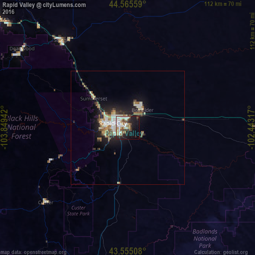
Analysis of Rapid Valley night lights 2016
Square area 10x10 km:
 9.21%
9.21%90-99
13.97%80-89
4.13%70-79
2.86%60-69
5.87%50-59
6.51%40-49
5.56%30-39
5.4%20-29
9.21%10-19
22.22%0-9
15.08%Square area 50x50 km:
0.98%90-99
1.57%80-89
0.84%70-79
0.52%60-69
1.15%50-59
0.95%40-49
0.75%30-39
0.98%20-29
2.03%10-19
4.92%0-9
85.32%Clear (daylight) street map image can be seen on geolist.org.
Map coordinates:
44° 33' 56.1" North, 103° 50' 57.9" West
44° 3' 45" North, 103° 8' 46.6" West
43° 33' 18.3" North, 102° 26' 35.4" West
Some cities around Rapid Valley sort by population:
• Gillette
189.6 km =117.8 mi,  277°
277°
• Pierre
225.3 km =140 mi,  81°
81°
• Spearfish
74.1 km =46 mi,  309°
309°
• Box Elder
8.4 km =5.2 mi,  48°
48°
• Alliance
219.2 km =136.2 mi,  174°
174°
• Sturgis
48.2 km =30 mi,  323°
323°
• Chadron
137.6 km =85.5 mi,  175°
175°
• Belle Fourche
87.9 km =54.6 mi, 320°
5768244 (p: 8,260)
Sources (retrieved 2019-11-25):
» Earth at Night: Flat Maps 2012, 2016