Douglas night lights from space
Night Light of Douglas (Wyoming) from space (United States) Src. Average luminocity for 10x10km area is 12.3% and for 50x50km: 0.7383%.
Analysis of Douglas night lights 2016
Square area 10x10 km:
 0.91%
0.91%90-99
0.91%80-89
2.73%70-79
1.36%60-69
3.18%50-59
0.61%40-49
2.27%30-39
1.36%20-29
1.21%10-19
1.97%0-9
83.48%Square area 50x50 km:
0.04%90-99
0.04%80-89
0.19%70-79
0.06%60-69
0.18%50-59
0.08%40-49
0.17%30-39
0.13%20-29
0.05%10-19
0.13%0-9
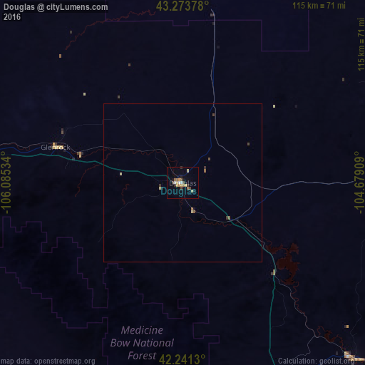
98.94%Clear (daylight) street map image can be seen on geolist.org.
Map coordinates:
43° 16' 25.6" North, 106° 5' 7.2" West
42° 45' 34.9" North, 105° 22' 56" West
42° 14' 28.7" North, 104° 40' 44.7" West
Some cities around Douglas sort by population:
• Cheyenne
186 km =115.6 mi,  165°
165°
• Casper
76.9 km =47.8 mi,  278°
278°
• Gillette
170.6 km =106 mi,  356°
356°
• Laramie
162 km =100.7 mi,  186°
186°
• Scottsbluff
172.5 km =107.2 mi,  125°
125°
• Gering
175.6 km =109.1 mi, 126°
• Torrington
125.2 km =77.8 mi, 128°
• Ranchettes
178.2 km =110.7 mi,  164°
164°
5823516 (p: 6,531)
Sources (retrieved 2019-11-25):
» Earth at Night: Flat Maps 2012, 2016