Southwest Ranches night lights from space
Night Light of Southwest Ranches (Florida) from space (United States) Src. Average luminocity for 10x10km area is 88.4028% and for 50x50km: 59.6887%.
Analysis of Southwest Ranches night lights 2016
Square area 10x10 km:
 19.64%
90-99
29.56%80-89
25.6%70-79
22.82%60-69
2.38%50-59
0%40-49
0%30-39
0%20-29
0%10-19
0%0-9
0%Square area 50x50 km:
33.29%90-99
13.17%80-89
2.92%70-79
3.01%60-69
4.41%50-59
3.29%40-49
3.44%30-39
3.61%20-29
3.12%10-19
2.88%0-9
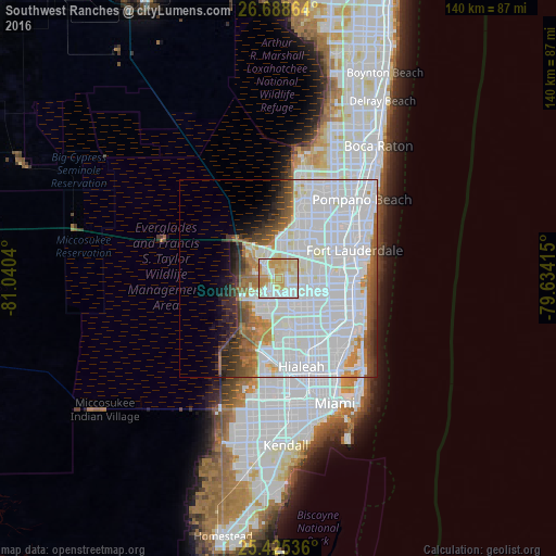
26.85%Clear (daylight) street map image can be seen on geolist.org.
Map coordinates:
26° 41' 19.1" North, 81° 2' 25.4" West
26° 3' 31.3" North, 80° 20' 14.2" West
25° 25' 31.3" North, 79° 38' 2.9" West
Some cities around Southwest Ranches sort by population:
• Pembroke Pines
12.9 km =8 mi,  118°
118°
• Miramar
13.2 km =8.2 mi,  127°
127°
• Davie
10.4 km =6.5 mi,  87°
87°
• Plantation
13.5 km =8.4 mi,  51°
51°
• Weston
7.8 km =4.8 mi,  306°
306°
• Country Club
12.5 km =7.8 mi,  170°
170°
• Cooper City
6.5 km =4 mi, 91°
• Pine Island Ridge
7.5 km =4.7 mi,  57°
57°
4173717 (p: 7,852)
Sources (retrieved 2019-11-25):
» Earth at Night: Flat Maps 2012, 2016