Weston night lights from space
Night Light of Weston (Florida) from space (United States) Src. Average luminocity for 10x10km area is 68.1607% and for 50x50km: 47.1456%.
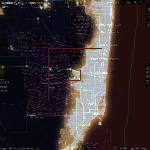
Analysis of Weston night lights 2016
Square area 10x10 km:
 13.69%
90-99
12.9%80-89
10.91%70-79
11.31%60-69
18.25%50-59
8.53%40-49
6.35%30-39
9.52%20-29
5.95%10-19
2.58%0-9
0%Square area 50x50 km:
25.22%90-99
11.58%80-89
2.84%70-79
2.41%60-69
3.23%50-59
2.04%40-49
2.15%30-39
2.8%20-29
2.62%10-19
3.08%0-9
42.02%Clear (daylight) street map image can be seen on geolist.org.
Map coordinates:
26° 43' 48.3" North, 81° 6' 10.4" West
26° 6' 1.3" North, 80° 23' 59.2" West
25° 28' 2.1" North, 79° 41' 47.9" West
Some cities around Weston sort by population:
• Davie
17.2 km =10.7 mi,  104°
104°
• Plantation
17.2 km =10.7 mi,  77°
77°
• Lauderhill
19.1 km =11.9 mi, 76°
• Country Club
18.8 km =11.7 mi,  153°
153°
• Cooper City
13.7 km =8.5 mi,  110°
110°
• Southwest Ranches
7.8 km =4.8 mi,  126°
126°
• Broadview Park
19.1 km =11.9 mi,  90°
90°
• Pine Island Ridge
12.6 km =7.8 mi, 92°
4178003 (p: 69,959)
Sources (retrieved 2019-11-25):
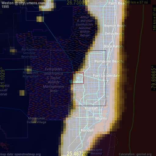
» NASA, Earths city lights 1995
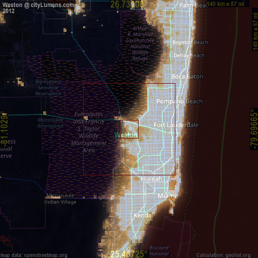
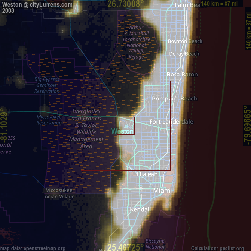
» NASA city lights 2003
» Earth at Night: Flat Maps 2012, 2016