Davie night lights from space
Night Light of Davie (Florida) from space (United States) Src. Average luminocity for 10x10km area is 98.5% and for 50x50km: 61.1168%.
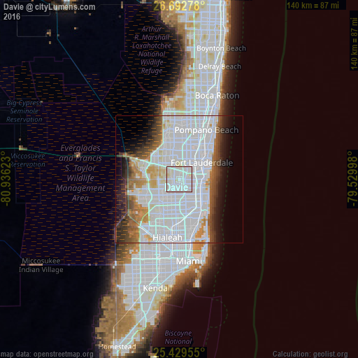
Analysis of Davie night lights 2016
Square area 10x10 km:
 57.74%
90-99
40.28%80-89
1.98%70-79
0%60-69
0%50-59
0%40-49
0%30-39
0%20-29
0%10-19
0%0-9
0%Square area 50x50 km:
33.18%90-99
13.3%80-89
2.96%70-79
2.97%60-69
4.35%50-59
3.5%40-49
4.16%30-39
4.44%20-29
4.17%10-19
5.76%0-9
21.22%Clear (daylight) street map image can be seen on geolist.org.
Map coordinates:
26° 41' 34" North, 80° 56' 10.4" West
26° 3' 46.3" North, 80° 13' 59.2" West
25° 25' 46.4" North, 79° 31' 47.9" West
Some cities around Davie sort by population:
• Pembroke Pines
6.7 km =4.2 mi,  172°
172°
• Miramar
8.4 km =5.2 mi,  179°
179°
• Plantation
7.9 km =4.9 mi,  0°
0°
• West Hollywood
6.8 km =4.2 mi,  133°
133°
• Cooper City
3.9 km =2.4 mi,  260°
260°
• Melrose Park
6.9 km =4.3 mi,  35°
35°
• Broadview Park
4.8 km =3 mi,  30°
30°
• Pine Island Ridge
5.4 km =3.4 mi,  311°
311°
4152820 (p: 100,882)
Sources (retrieved 2019-11-25):
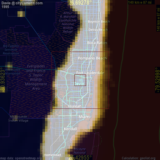
» NASA, Earths city lights 1995
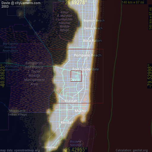
» NASA city lights 2003
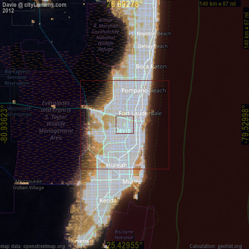
» Earth at Night: Flat Maps 2012, 2016