Cooper City night lights from space
Night Light of Cooper City (Florida) from space (United States) Src. Average luminocity for 10x10km area is 95.9663% and for 50x50km: 61.5137%.
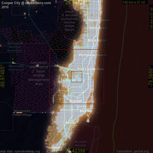
Analysis of Cooper City night lights 2016
Square area 10x10 km:
 37.7%
37.7%90-99
46.03%80-89
14.68%70-79
1.59%60-69
0%50-59
0%40-49
0%30-39
0%20-29
0%10-19
0%0-9
0%Square area 50x50 km:
33.29%90-99
13.22%80-89
2.94%70-79
3.03%60-69
4.45%50-59
3.57%40-49
4.18%30-39
4.53%20-29
4.22%10-19
6.11%0-9
20.44%Clear (daylight) street map image can be seen on geolist.org.
Map coordinates:
26° 41' 14.1" North, 80° 58' 29.5" West
26° 3' 26.3" North, 80° 16' 18.2" West
25° 25' 26.3" North, 79° 34' 7" West
Some cities around Cooper City sort by population:
• Pembroke Pines
7.7 km =4.8 mi,  141°
141°
• Miramar
8.7 km =5.4 mi,  153°
153°
• Davie
3.9 km =2.4 mi,  80°
80°
• Plantation
9.4 km =5.8 mi,  24°
24°
• West Hollywood
9.7 km =6 mi,  114°
114°
• Southwest Ranches
6.5 km =4 mi,  271°
271°
• Broadview Park
7.9 km =4.9 mi,  53°
53°
• Pine Island Ridge
4.2 km =2.6 mi,  356°
356°
4151824 (p: 35,364)
Sources (retrieved 2019-11-25):
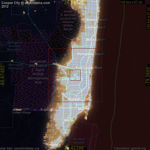
» Earth at Night: Flat Maps 2012, 2016