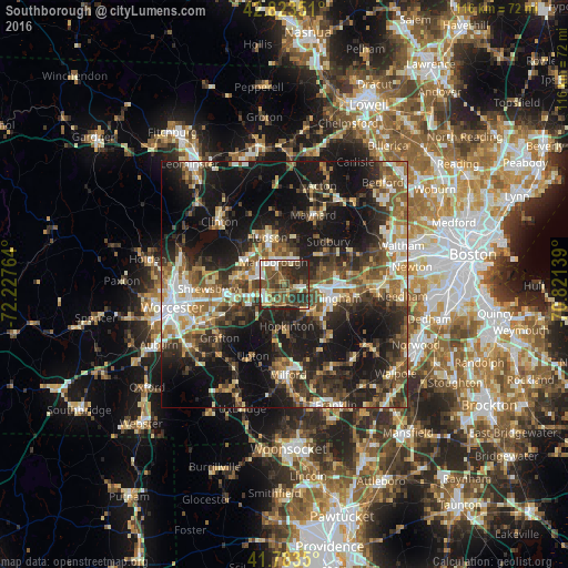
Southborough night lights from space
Night Light of Southborough (Massachusetts) from space (United States) Src. Average luminocity for 10x10km area is 54.053% and for 50x50km: 37.343%.
Analysis of Southborough night lights 2016
Square area 10x10 km:
 7.88%
7.88%90-99
8.94%80-89
4.85%70-79
5.61%60-69
5.45%50-59
14.55%40-49
17.42%30-39
14.09%20-29
20.76%10-19
0.45%0-9
0%Square area 50x50 km:
4.2%90-99
5.85%80-89
4.57%70-79
4.11%60-69
5.09%50-59
6.96%40-49
7.2%30-39
7.53%20-29
13.24%10-19
26.27%0-9
14.97%Clear (daylight) street map image can be seen on geolist.org.
Map coordinates:
42° 49' 24.6" North, 72° 13' 39.5" West
42° 18' 20.3" North, 71° 31' 28.2" West
41° 47' 0.6" North, 70° 49' 17" West
Some cities around Southborough sort by population:
• Framingham
9.4 km =5.8 mi,  108°
108°
• Framingham Center
7.3 km =4.5 mi,  97°
97°
• Marlborough
5 km =3.1 mi,  332°
332°
• Sudbury
12.4 km =7.7 mi,  45°
45°
• Ashland
7 km =4.3 mi,  134°
134°
• Hudson
10.2 km =6.3 mi,  340°
340°
• Cochituate
13.3 km =8.3 mi,  82°
82°
• Northborough
9.7 km =6 mi,  279°
279°
4951591 (p: 9,686)
Sources (retrieved 2019-11-25):
» Earth at Night: Flat Maps 2012, 2016