Framingham night lights from space
Night Light of Framingham (Massachusetts) from space (United States) Src. Average luminocity for 10x10km area is 58.747% and for 50x50km: 43.5319%.
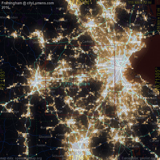
Analysis of Framingham night lights 2016
Square area 10x10 km:
 11.36%
90-99
12.42%80-89
6.67%70-79
5.3%60-69
6.21%50-59
15.15%40-49
13.94%30-39
8.03%20-29
16.06%10-19
4.85%0-9
0%Square area 50x50 km:
6.32%90-99
7.34%80-89
5.76%70-79
5.39%60-69
6.32%50-59
7.27%40-49
7.5%30-39
7.98%20-29
13.96%10-19
22.18%0-9
9.98%Clear (daylight) street map image can be seen on geolist.org.
Map coordinates:
42° 47' 50.4" North, 72° 7' 9.5" West
42° 16' 45.3" North, 71° 24' 58.2" West
41° 45' 24.8" North, 70° 42' 47" West
Some cities around Framingham sort by population:
• Natick
5.5 km =3.4 mi,  85°
85°
• Wellesley
10.3 km =6.4 mi,  79°
79°
• Sudbury
11.6 km =7.2 mi,  0°
0°
• Ashland
4.4 km =2.7 mi,  242°
242°
• Holliston
8.8 km =5.5 mi,  184°
184°
• Wayland
10.3 km =6.4 mi,  25°
25°
• Southborough
9.4 km =5.8 mi,  288°
288°
• Cochituate
6.3 km =3.9 mi,  42°
42°
4937230 (p: 68,318)
Sources (retrieved 2019-11-25):
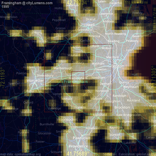
» NASA, Earths city lights 1995
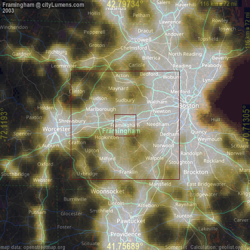
» NASA city lights 2003
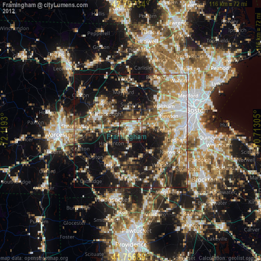
» Earth at Night: Flat Maps 2012, 2016