Framingham Center night lights from space
Night Light of Framingham Center (Massachusetts) from space (United States) Src. Average luminocity for 10x10km area is 58.2727% and for 50x50km: 42.217%.
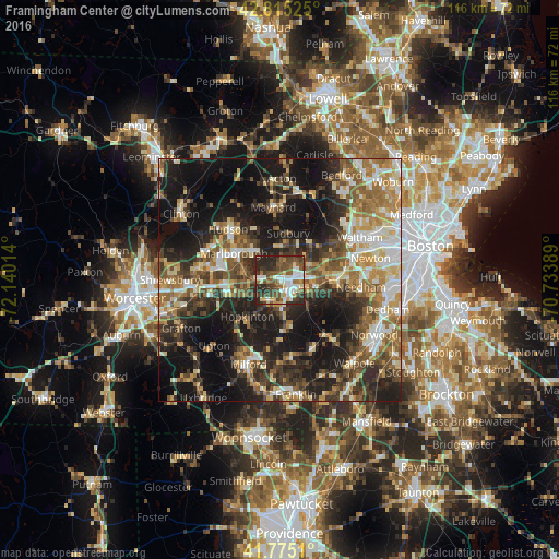
Analysis of Framingham Center night lights 2016
Square area 10x10 km:
 11.21%
90-99
11.82%80-89
6.36%70-79
3.18%60-69
6.82%50-59
13.94%40-49
16.67%30-39
11.06%20-29
18.94%10-19
0%0-9
0%Square area 50x50 km:
5.4%90-99
6.98%80-89
5.66%70-79
5.36%60-69
6.6%50-59
7.31%40-49
7.43%30-39
7.53%20-29
13.08%10-19
24%0-9
10.65%Clear (daylight) street map image can be seen on geolist.org.
Map coordinates:
42° 48' 54.9" North, 72° 8' 24.5" West
42° 17' 50.4" North, 71° 26' 13.2" West
41° 46' 30.4" North, 70° 44' 2" West
Some cities around Framingham Center sort by population:
• Marlborough
10.9 km =6.8 mi,  299°
299°
• Natick
7.4 km =4.6 mi,  102°
102°
• Sudbury
9.7 km =6 mi,  10°
10°
• Ashland
4.6 km =2.9 mi,  208°
208°
• Holliston
10.9 km =6.8 mi,  174°
174°
• Wayland
9.6 km =6 mi,  40°
40°
• Southborough
7.3 km =4.5 mi,  277°
277°
• Cochituate
6.5 km =4 mi,  66°
66°
4937232 (p: 65,413)
Sources (retrieved 2019-11-25):
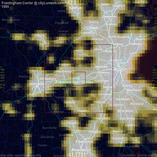
» NASA, Earths city lights 1995
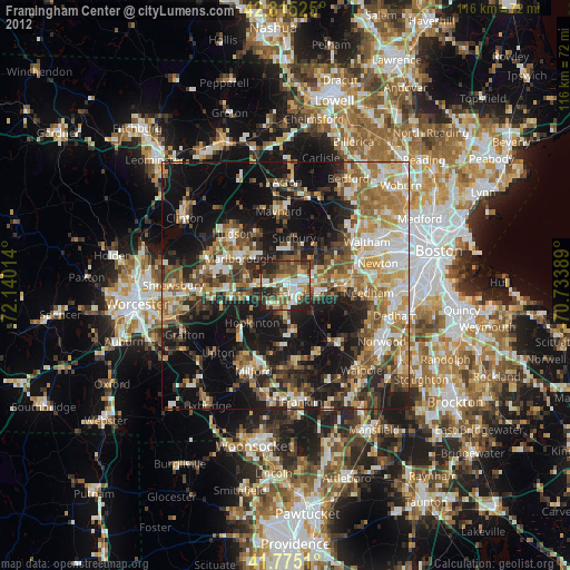
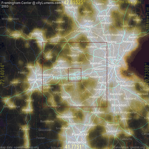
» NASA city lights 2003
» Earth at Night: Flat Maps 2012, 2016