South Windsor night lights from space
Night Light of South Windsor (Connecticut) from space (United States) Src. Average luminocity for 10x10km area is 70.4439% and for 50x50km: 35.2395%.
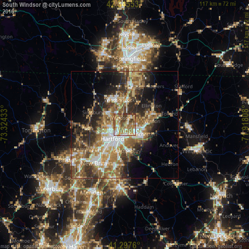
Analysis of South Windsor night lights 2016
Square area 10x10 km:
 9.55%
9.55%90-99
11.21%80-89
14.09%70-79
13.94%60-69
23.33%50-59
12.42%40-49
6.82%30-39
8.64%20-29
0%10-19
0%0-9
0%Square area 50x50 km:
4.72%90-99
5.28%80-89
5.53%70-79
5.14%60-69
7.27%50-59
7.22%40-49
5.14%30-39
5.97%20-29
7.87%10-19
9.08%0-9
36.78%Clear (daylight) street map image can be seen on geolist.org.
Map coordinates:
42° 20' 43.9" North, 73° 19' 27.6" West
41° 49' 25.4" North, 72° 37' 16.3" West
41° 17' 51.4" North, 71° 55' 5.1" West
Some cities around South Windsor sort by population:
• Hartford
8.5 km =5.3 mi,  218°
218°
• West Hartford
12.1 km =7.5 mi,  235°
235°
• East Hartford
4.7 km =2.9 mi,  170°
170°
• Glastonbury
12.4 km =7.7 mi,  175°
175°
• Manchester
9.8 km =6.1 mi,  122°
122°
• Windsor
3.7 km =2.3 mi,  329°
329°
• Wethersfield
12.4 km =7.7 mi,  192°
192°
• Windsor Locks
11.7 km =7.3 mi,  357°
357°
4843353 (p: 24,412)
Sources (retrieved 2019-11-25):
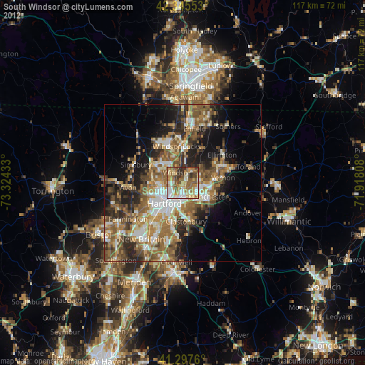
» Earth at Night: Flat Maps 2012, 2016