Manchester night lights from space
Night Light of Manchester (Connecticut) from space (United States) Src. Average luminocity for 10x10km area is 60.5146% and for 50x50km: 33.5314%.
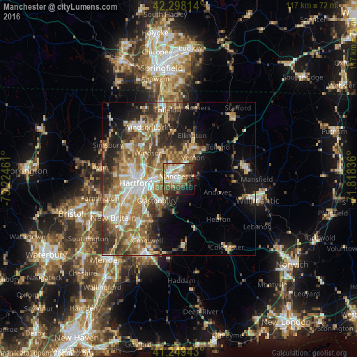
Analysis of Manchester night lights 2016
Square area 10x10 km:
 10.88%
90-99
15.1%80-89
5.19%70-79
5.84%60-69
13.64%50-59
11.36%40-49
10.88%30-39
8.44%20-29
7.95%10-19
8.44%0-9
2.27%Square area 50x50 km:
4.73%90-99
5.34%80-89
5.18%70-79
5.08%60-69
6.76%50-59
6.4%40-49
4.26%30-39
5.41%20-29
6.83%10-19
8.96%0-9
41.06%Clear (daylight) street map image can be seen on geolist.org.
Map coordinates:
42° 17' 53.3" North, 73° 13' 28.6" West
41° 46' 33.3" North, 72° 31' 17.3" West
41° 14' 57.9" North, 71° 49' 6.1" West
Some cities around Manchester sort by population:
• Hartford
13.6 km =8.5 mi,  264°
264°
• East Hartford
7.5 km =4.7 mi,  275°
275°
• Glastonbury
10.1 km =6.3 mi,  225°
225°
• Windsor
13.2 km =8.2 mi,  310°
310°
• Wethersfield
12.9 km =8 mi,  237°
237°
• South Windsor
9.8 km =6.1 mi,  302°
302°
• Rockville
11.7 km =7.3 mi,  30°
30°
• Glastonbury Center
10.6 km =6.6 mi,  217°
217°
4838174 (p: 30,577)
Sources (retrieved 2019-11-25):
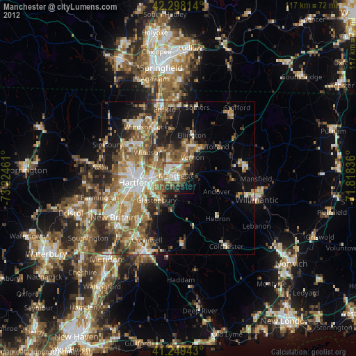
» Earth at Night: Flat Maps 2012, 2016