Wethersfield night lights from space
Night Light of Wethersfield (Connecticut) from space (United States) Src. Average luminocity for 10x10km area is 75.1218% and for 50x50km: 39.8199%.
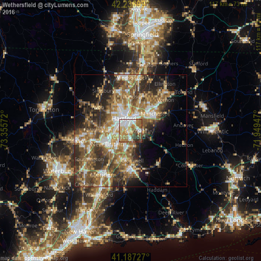
Analysis of Wethersfield night lights 2016
Square area 10x10 km:
 22.24%
90-99
13.47%80-89
9.42%70-79
12.66%60-69
18.83%50-59
8.6%40-49
4.87%30-39
7.95%20-29
1.95%10-19
0%0-9
0%Square area 50x50 km:
5.49%90-99
5.89%80-89
5.68%70-79
6%60-69
8.29%50-59
8.6%40-49
6.78%30-39
7.27%20-29
8.36%10-19
8.28%0-9
29.37%Clear (daylight) street map image can be seen on geolist.org.
Map coordinates:
42° 14' 13.2" North, 73° 21' 20.6" West
41° 42' 51.4" North, 72° 39' 9.3" West
41° 11' 14.2" North, 71° 56' 58.1" West
Some cities around Wethersfield sort by population:
• Hartford
6.1 km =3.8 mi,  333°
333°
• New Britain
12.1 km =7.5 mi,  240°
240°
• West Hartford
9.1 km =5.7 mi,  305°
305°
• East Hartford
8.3 km =5.2 mi,  23°
23°
• Glastonbury
3.7 km =2.3 mi,  93°
93°
• Newington
6.2 km =3.9 mi,  252°
252°
• South Windsor
12.4 km =7.7 mi,  12°
12°
• Glastonbury Center
4.6 km =2.9 mi,  108°
108°
4845612 (p: 26,668)
Sources (retrieved 2019-11-25):
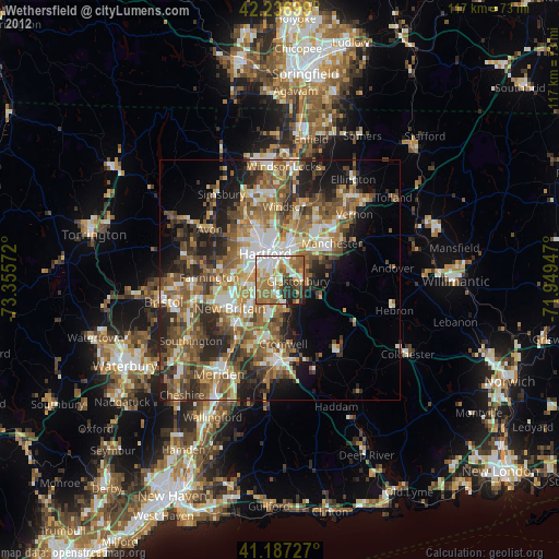
» Earth at Night: Flat Maps 2012, 2016