Glastonbury night lights from space
Night Light of Glastonbury (Connecticut) from space (United States) Src. Average luminocity for 10x10km area is 59.1867% and for 50x50km: 37.9761%.
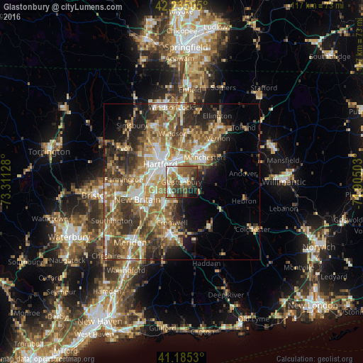
Analysis of Glastonbury night lights 2016
Square area 10x10 km:
 10.88%
90-99
10.71%80-89
5.68%70-79
5.52%60-69
10.88%50-59
18.67%40-49
10.06%30-39
12.99%20-29
8.44%10-19
5.52%0-9
0.65%Square area 50x50 km:
5.21%90-99
5.72%80-89
5.52%70-79
5.91%60-69
7.93%50-59
8.19%40-49
5.94%30-39
6.71%20-29
7.7%10-19
7.71%0-9
33.46%Clear (daylight) street map image can be seen on geolist.org.
Map coordinates:
42° 14' 6.2" North, 73° 18' 40.6" West
41° 42' 44.4" North, 72° 36' 29.3" West
41° 11' 7.1" North, 71° 54' 18.1" West
Some cities around Glastonbury sort by population:
• Hartford
8.6 km =5.3 mi,  311°
311°
• West Hartford
12.4 km =7.7 mi,  296°
296°
• East Hartford
7.8 km =4.8 mi,  357°
357°
• Manchester
10.1 km =6.3 mi,  45°
45°
• Newington
9.7 km =6 mi,  260°
260°
• Wethersfield
3.7 km =2.3 mi,  273°
273°
• South Windsor
12.4 km =7.7 mi, 355°
• Cromwell
13.4 km =8.3 mi,  193°
193°
4835003 (p: 31,876)
Sources (retrieved 2019-11-25):
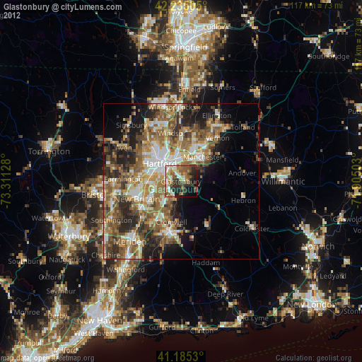
» Earth at Night: Flat Maps 2012, 2016