Hartford night lights from space
Night Light of Hartford (Connecticut) from space (United States) Src. Average luminocity for 10x10km area is 91.9854% and for 50x50km: 39.7564%.
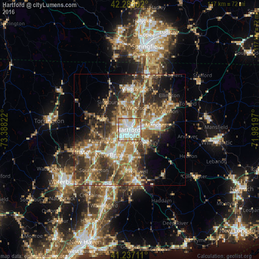
Analysis of Hartford night lights 2016
Square area 10x10 km:
 42.53%
90-99
28.57%80-89
8.6%70-79
12.34%60-69
6.01%50-59
1.95%40-49
0%30-39
0%20-29
0%10-19
0%0-9
0%Square area 50x50 km:
5.4%90-99
5.82%80-89
6%70-79
5.87%60-69
8.08%50-59
8.42%40-49
6.46%30-39
7.75%20-29
8.53%10-19
8.78%0-9
28.9%Clear (daylight) street map image can be seen on geolist.org.
Map coordinates:
42° 17' 9.7" North, 73° 23' 17.6" West
41° 45' 49.4" North, 72° 41' 6.3" West
41° 14' 13.6" North, 71° 58' 55.1" West
Some cities around Hartford sort by population:
• West Hartford
4.7 km =2.9 mi,  267°
267°
• East Hartford
6.4 km =4 mi,  71°
71°
• Glastonbury
8.6 km =5.3 mi,  131°
131°
• Newington
8 km =5 mi,  203°
203°
• Windsor
10.5 km =6.5 mi,  19°
19°
• Wethersfield
6.1 km =3.8 mi,  153°
153°
• South Windsor
8.5 km =5.3 mi,  38°
38°
• Glastonbury Center
10 km =6.2 mi, 134°
4835797 (p: 124,006)
Sources (retrieved 2019-11-25):
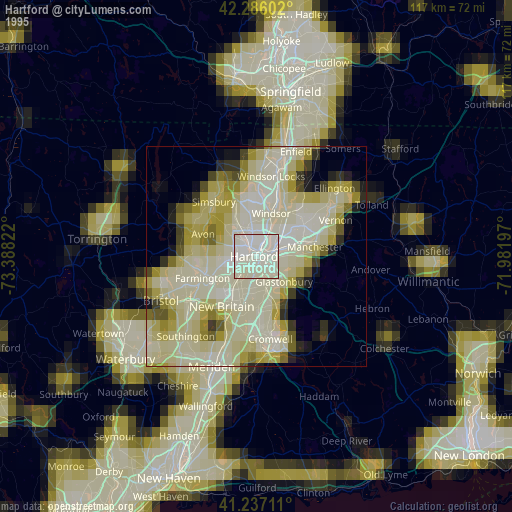
» NASA, Earths city lights 1995
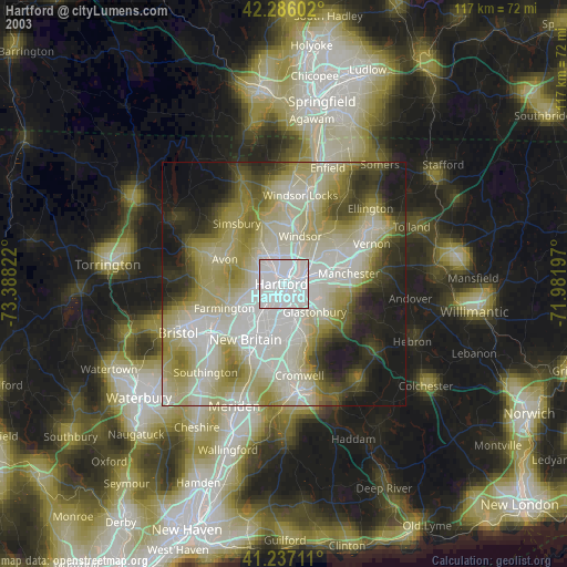
» NASA city lights 2003
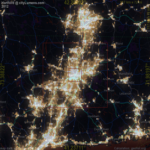
» Earth at Night: Flat Maps 2012, 2016