Windsor night lights from space
Night Light of Windsor (Connecticut) from space (United States) Src. Average luminocity for 10x10km area is 62.5778% and for 50x50km: 35.6968%.
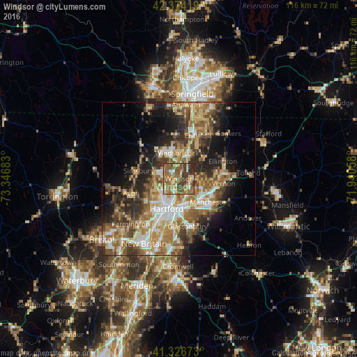
Analysis of Windsor night lights 2016
Square area 10x10 km:
 3.97%
3.97%90-99
8.73%80-89
13.97%70-79
7.78%60-69
18.1%50-59
21.27%40-49
10.32%30-39
12.7%20-29
3.17%10-19
0%0-9
0%Square area 50x50 km:
4.79%90-99
5.45%80-89
5.88%70-79
5.3%60-69
7.27%50-59
6.8%40-49
5.1%30-39
5.92%20-29
7.94%10-19
9.83%0-9
35.72%Clear (daylight) street map image can be seen on geolist.org.
Map coordinates:
42° 22' 27.1" North, 73° 20' 48.6" West
41° 51' 9.4" North, 72° 38' 37.3" West
41° 19' 36.2" North, 71° 56' 26.1" West
Some cities around Windsor sort by population:
• Hartford
10.5 km =6.5 mi,  199°
199°
• West Hartford
13 km =8.1 mi,  218°
218°
• East Hartford
8.2 km =5.1 mi,  161°
161°
• Enfield
14.4 km =8.9 mi,  17°
17°
• Manchester
13.2 km =8.2 mi,  130°
130°
• South Windsor
3.7 km =2.3 mi,  149°
149°
• Southwood Acres
13.6 km =8.5 mi,  26°
26°
• Simsbury Center
14.2 km =8.8 mi,  282°
282°
4845920 (p: 28,778)
Sources (retrieved 2019-11-25):
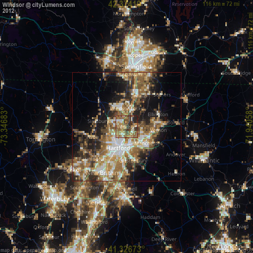
» Earth at Night: Flat Maps 2012, 2016