East Hartford night lights from space
Night Light of East Hartford (Connecticut) from space (United States) Src. Average luminocity for 10x10km area is 78.9773% and for 50x50km: 36.8922%.
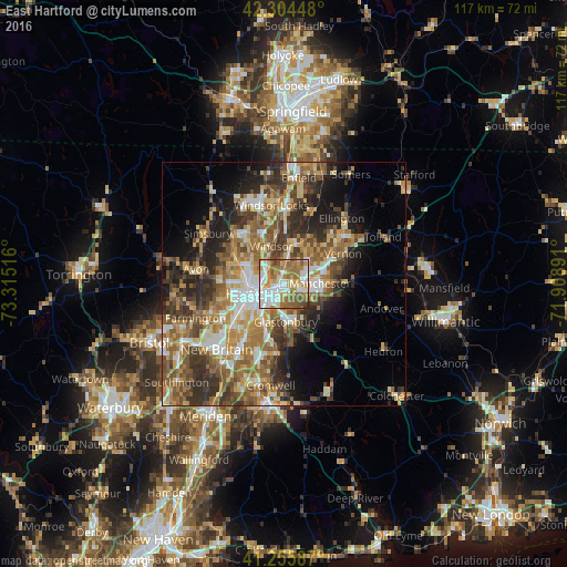
Analysis of East Hartford night lights 2016
Square area 10x10 km:
 20.94%
90-99
17.86%80-89
10.88%70-79
11.36%60-69
22.56%50-59
12.99%40-49
3.08%30-39
0.32%20-29
0%10-19
0%0-9
0%Square area 50x50 km:
4.91%90-99
5.49%80-89
5.68%70-79
5.56%60-69
7.61%50-59
7.76%40-49
5.45%30-39
6.7%20-29
7.93%10-19
8.34%0-9
34.57%Clear (daylight) street map image can be seen on geolist.org.
Map coordinates:
42° 18' 16.1" North, 73° 18' 54.6" West
41° 46' 56.4" North, 72° 36' 43.3" West
41° 15' 21.1" North, 71° 54' 32.1" West
Some cities around East Hartford sort by population:
• Hartford
6.4 km =4 mi,  251°
251°
• West Hartford
11 km =6.8 mi,  258°
258°
• Glastonbury
7.8 km =4.8 mi,  177°
177°
• Manchester
7.5 km =4.7 mi,  95°
95°
• Windsor
8.2 km =5.1 mi,  341°
341°
• Wethersfield
8.3 km =5.2 mi,  203°
203°
• South Windsor
4.7 km =2.9 mi,  350°
350°
• Glastonbury Center
9.1 km =5.7 mi,  173°
173°
4833403 (p: 51,252)
Sources (retrieved 2019-11-25):
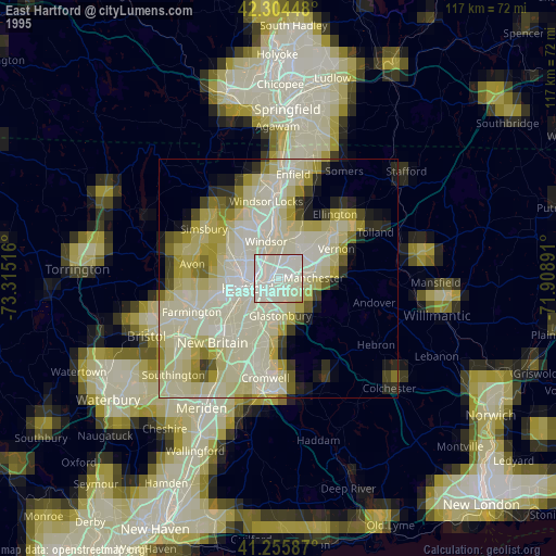
» NASA, Earths city lights 1995
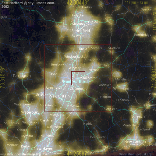
» NASA city lights 2003
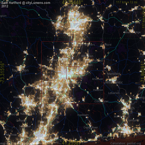
» Earth at Night: Flat Maps 2012, 2016