Smithtown night lights from space
Night Light of Smithtown (New York) from space (United States) Src. Average luminocity for 10x10km area is 73.0782% and for 50x50km: 42.647%.
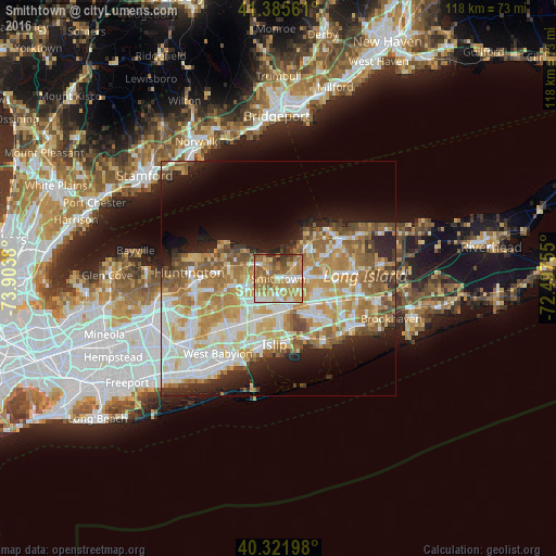
Analysis of Smithtown night lights 2016
Square area 10x10 km:
 7.99%
7.99%90-99
12.41%80-89
13.1%70-79
23.64%60-69
21.94%50-59
13.1%40-49
4.42%30-39
2.89%20-29
0.51%10-19
0%0-9
0%Square area 50x50 km:
8%90-99
9.44%80-89
6.3%70-79
8.51%60-69
7.69%50-59
6.19%40-49
3.54%30-39
2.51%20-29
5.61%10-19
8.48%0-9
33.72%Clear (daylight) street map image can be seen on geolist.org.
Map coordinates:
41° 23' 8.2" North, 73° 54' 13.7" West
40° 51' 21.3" North, 73° 12' 2.4" West
40° 19' 19.1" North, 72° 29' 51.2" West
Some cities around Smithtown sort by population:
• Commack
7.9 km =4.9 mi,  259°
259°
• Central Islip
7.3 km =4.5 mi,  180°
180°
• Hauppauge
3.4 km =2.1 mi, 182°
• Lake Ronkonkoma
6.3 km =3.9 mi,  111°
111°
• Kings Park
5.8 km =3.6 mi,  305°
305°
• Nesconset
3.9 km =2.4 mi,  96°
96°
• Saint James
4.5 km =2.8 mi,  55°
55°
• Lake Grove
7.2 km =4.5 mi,  92°
92°
5138539 (p: 26,470)
Sources (retrieved 2019-11-25):
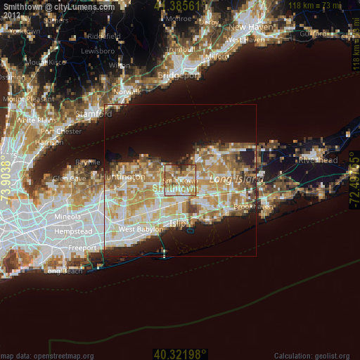
» Earth at Night: Flat Maps 2012, 2016