Nesconset night lights from space
Night Light of Nesconset (New York) from space (United States) Src. Average luminocity for 10x10km area is 77.6718% and for 50x50km: 40.5477%.
Analysis of Nesconset night lights 2016
Square area 10x10 km:
 12.76%
90-99
15.99%80-89
10.71%70-79
29.59%60-69
18.88%50-59
6.8%40-49
3.91%30-39
1.02%20-29
0.34%10-19
0%0-9
0%Square area 50x50 km:
7%90-99
8.19%80-89
5.99%70-79
8.7%60-69
7.75%50-59
6.04%40-49
3.76%30-39
2.77%20-29
5.82%10-19
8.73%0-9
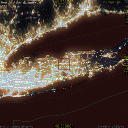
35.26%Clear (daylight) street map image can be seen on geolist.org.
Map coordinates:
41° 22' 54.3" North, 73° 51' 25.7" West
40° 51' 7.3" North, 73° 9' 14.4" West
40° 19' 5" North, 72° 27' 3.2" West
Some cities around Nesconset sort by population:
• Centereach
4.6 km =2.9 mi,  81°
81°
• Holbrook
7.7 km =4.8 mi,  124°
124°
• Smithtown
3.9 km =2.4 mi,  276°
276°
• Hauppauge
5 km =3.1 mi,  234°
234°
• Lake Ronkonkoma
2.7 km =1.7 mi,  134°
134°
• Ronkonkoma
5.4 km =3.4 mi,  139°
139°
• Saint James
3 km =1.9 mi,  355°
355°
• Lake Grove
3.3 km =2.1 mi,  88°
88°
5128433 (p: 13,387)
Sources (retrieved 2019-11-25):
» Earth at Night: Flat Maps 2012, 2016