Saint James night lights from space
Night Light of Saint James (New York) from space (United States) Src. Average luminocity for 10x10km area is 68.8503% and for 50x50km: 40.6593%.
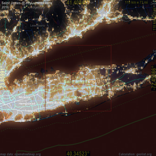
Analysis of Saint James night lights 2016
Square area 10x10 km:
 9.69%
9.69%90-99
10.54%80-89
9.01%70-79
19.9%60-69
21.6%50-59
11.56%40-49
6.12%30-39
6.12%20-29
4.25%10-19
1.19%0-9
0%Square area 50x50 km:
7.11%90-99
8.29%80-89
6.03%70-79
8.71%60-69
7.74%50-59
6.13%40-49
3.78%30-39
2.51%20-29
5.36%10-19
8.63%0-9
35.72%Clear (daylight) street map image can be seen on geolist.org.
Map coordinates:
41° 24' 30.5" North, 73° 51' 35.7" West
40° 52' 44.4" North, 73° 9' 24.4" West
40° 20' 42.8" North, 72° 27' 13.2" West
Some cities around Saint James sort by population:
• Centereach
5.3 km =3.3 mi,  115°
115°
• Smithtown
4.5 km =2.8 mi,  235°
235°
• Hauppauge
7.1 km =4.4 mi,  213°
213°
• Lake Ronkonkoma
5.3 km =3.3 mi,  156°
156°
• Setauket-East Setauket
7.4 km =4.6 mi,  38°
38°
• Stony Brook
5.4 km =3.4 mi,  14°
14°
• Nesconset
3 km =1.9 mi,  175°
175°
• Lake Grove
4.6 km =2.9 mi,  129°
129°
5135192 (p: 13,338)
Sources (retrieved 2019-11-25):
» Earth at Night: Flat Maps 2012, 2016