Central Islip night lights from space
Night Light of Central Islip (New York) from space (United States) Src. Average luminocity for 10x10km area is 83.4545% and for 50x50km: 41.8157%.
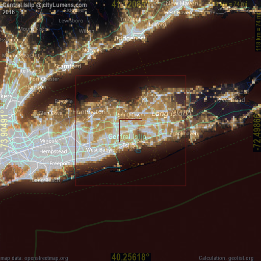
Analysis of Central Islip night lights 2016
Square area 10x10 km:
 17.86%
90-99
24.68%80-89
19.64%70-79
21.59%60-69
6.33%50-59
5.03%40-49
4.87%30-39
0%20-29
0%10-19
0%0-9
0%Square area 50x50 km:
7.91%90-99
9.29%80-89
6.16%70-79
8.41%60-69
7.54%50-59
5.89%40-49
3.41%30-39
2.49%20-29
5.37%10-19
8.26%0-9
35.26%Clear (daylight) street map image can be seen on geolist.org.
Map coordinates:
41° 19' 15.1" North, 73° 54' 17.7" West
40° 47' 26.3" North, 73° 12' 6.4" West
40° 15' 22.2" North, 72° 29' 55.2" West
Some cities around Central Islip sort by population:
• Brentwood
3.9 km =2.4 mi,  254°
254°
• Smithtown
7.3 km =4.5 mi,  0°
0°
• Hauppauge
3.9 km =2.4 mi,  358°
358°
• Lake Ronkonkoma
7.7 km =4.8 mi,  50°
50°
• Islip
6.8 km =4.2 mi,  186°
186°
• East Islip
6.7 km =4.2 mi,  168°
168°
• Oakdale
7.4 km =4.6 mi,  134°
134°
• Islip Terrace
5.3 km =3.3 mi, 171°
5112078 (p: 34,450)
Sources (retrieved 2019-11-25):
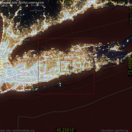
» Earth at Night: Flat Maps 2012, 2016