Commack night lights from space
Night Light of Commack (New York) from space (United States) Src. Average luminocity for 10x10km area is 78.8146% and for 50x50km: 47.2321%.
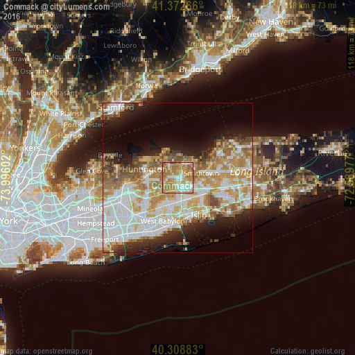
Analysis of Commack night lights 2016
Square area 10x10 km:
 11.73%
90-99
16.67%80-89
16.16%70-79
23.3%60-69
25.68%50-59
6.46%40-49
0%30-39
0%20-29
0%10-19
0%0-9
0%Square area 50x50 km:
11.65%90-99
11.26%80-89
6.11%70-79
8.56%60-69
7.29%50-59
5.6%40-49
3.19%30-39
2.51%20-29
5.46%10-19
8.72%0-9
29.65%Clear (daylight) street map image can be seen on geolist.org.
Map coordinates:
41° 22' 21.6" North, 73° 59' 45.7" West
40° 50' 34.4" North, 73° 17' 34.4" West
40° 18' 31.8" North, 72° 35' 23.2" West
Some cities around Commack sort by population:
• Dix Hills
5.6 km =3.5 mi,  220°
220°
• Hauppauge
7.8 km =4.8 mi,  104°
104°
• East Northport
4.6 km =2.9 mi,  324°
324°
• Kings Park
5.7 km =3.5 mi,  31°
31°
• Greenlawn
6.7 km =4.2 mi,  295°
295°
• Elwood
3.6 km =2.2 mi,  274°
274°
• Fort Salonga
7.8 km =4.8 mi,  355°
355°
• Northport
7.7 km =4.8 mi,  326°
326°
5113412 (p: 36,124)
Sources (retrieved 2019-11-25):
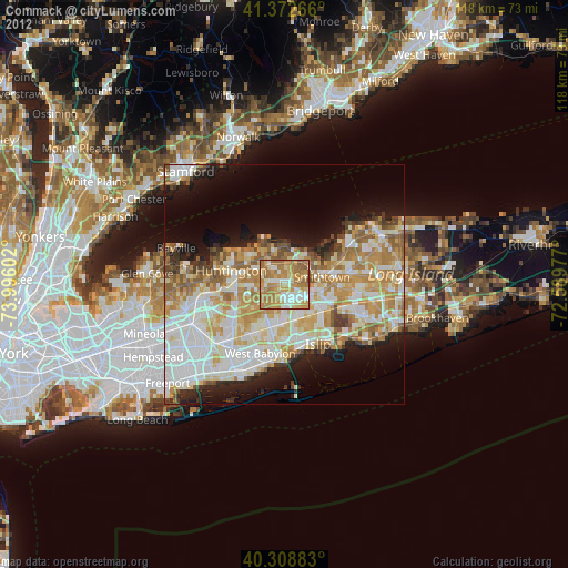
» Earth at Night: Flat Maps 2012, 2016