Kings Park night lights from space
Night Light of Kings Park (New York) from space (United States) Src. Average luminocity for 10x10km area is 55.7194% and for 50x50km: 46.0979%.
Analysis of Kings Park night lights 2016
Square area 10x10 km:
 3.23%
3.23%90-99
5.27%80-89
8.33%70-79
12.76%60-69
22.96%50-59
13.27%40-49
6.63%30-39
5.27%20-29
9.35%10-19
12.93%0-9
0%Square area 50x50 km:
10.61%90-99
10.87%80-89
6.25%70-79
8.5%60-69
7.88%50-59
6.31%40-49
3.07%30-39
1.67%20-29
4.63%10-19
8.6%0-9
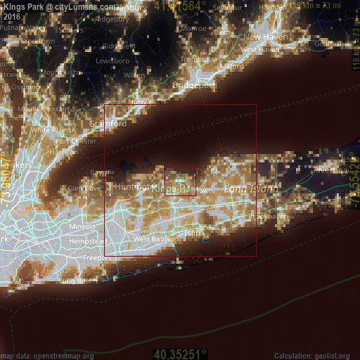
31.62%Clear (daylight) street map image can be seen on geolist.org.
Map coordinates:
41° 24' 56.3" North, 73° 57' 37.7" West
40° 53' 10.4" North, 73° 15' 26.4" West
40° 21' 9" North, 72° 33' 15.2" West
Some cities around Kings Park sort by population:
• Commack
5.7 km =3.5 mi,  211°
211°
• Smithtown
5.8 km =3.6 mi,  125°
125°
• Hauppauge
8.2 km =5.1 mi,  145°
145°
• East Northport
5.7 km =3.5 mi,  259°
259°
• Saint James
8.5 km =5.3 mi,  95°
95°
• Elwood
8 km =5 mi,  235°
235°
• Fort Salonga
4.7 km =2.9 mi,  308°
308°
• Northport
7.4 km =4.6 mi,  282°
282°
5123456 (p: 17,282)
Sources (retrieved 2019-11-25):
» Earth at Night: Flat Maps 2012, 2016