Lake Ronkonkoma night lights from space
Night Light of Lake Ronkonkoma (New York) from space (United States) Src. Average luminocity for 10x10km area is 83.2347% and for 50x50km: 39.3474%.
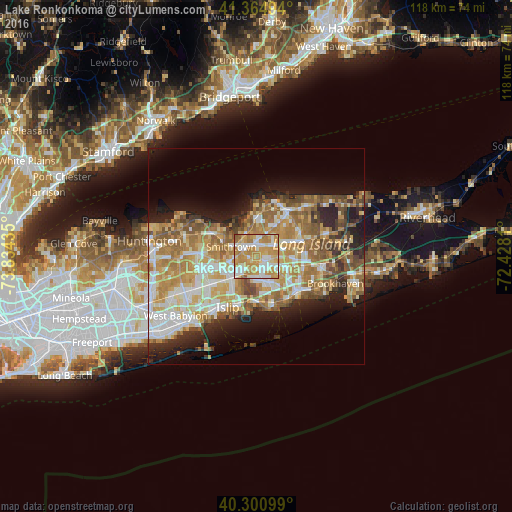
Analysis of Lake Ronkonkoma night lights 2016
Square area 10x10 km:
 17.18%
90-99
21.26%80-89
11.22%70-79
35.54%60-69
13.1%50-59
1.7%40-49
0%30-39
0%20-29
0%10-19
0%0-9
0%Square area 50x50 km:
6.49%90-99
7.75%80-89
5.9%70-79
8.42%60-69
7.54%50-59
5.99%40-49
3.82%30-39
2.94%20-29
5.9%10-19
9.11%0-9
36.16%Clear (daylight) street map image can be seen on geolist.org.
Map coordinates:
41° 21' 53.8" North, 73° 50' 3.7" West
40° 50' 6.4" North, 73° 7' 52.4" West
40° 18' 3.6" North, 72° 25' 41.2" West
Some cities around Lake Ronkonkoma sort by population:
• Centereach
3.7 km =2.3 mi,  45°
45°
• Holbrook
5.1 km =3.2 mi,  119°
119°
• Smithtown
6.3 km =3.9 mi,  291°
291°
• Hauppauge
6.1 km =3.8 mi,  260°
260°
• Ronkonkoma
2.7 km =1.7 mi,  144°
144°
• Nesconset
2.7 km =1.7 mi,  314°
314°
• Saint James
5.3 km =3.3 mi,  336°
336°
• Bohemia
7.4 km =4.6 mi,  169°
169°
5123840 (p: 20,155)
Sources (retrieved 2019-11-25):
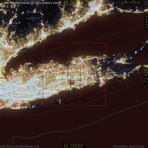
» Earth at Night: Flat Maps 2012, 2016