Sidney night lights from space
Night Light of Sidney (Ohio) from space (United States) Src. Average luminocity for 10x10km area is 36.0153% and for 50x50km: 7.3013%.
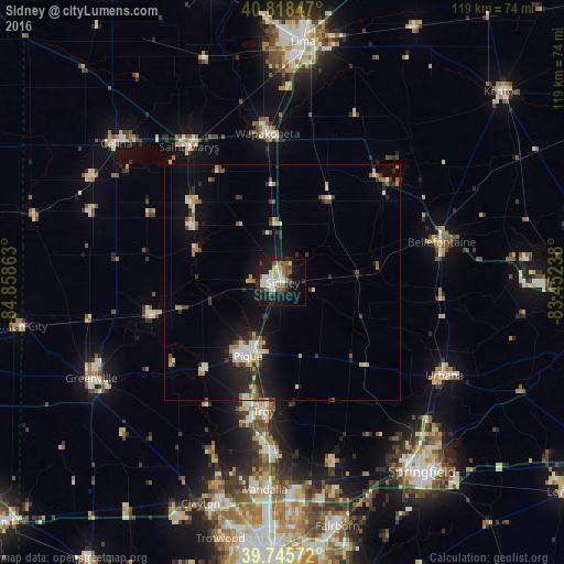
Analysis of Sidney night lights 2016
Square area 10x10 km:
 6.8%
6.8%90-99
8.16%80-89
3.91%70-79
1.7%60-69
4.42%50-59
6.29%40-49
4.25%30-39
3.23%20-29
7.48%10-19
30.95%0-9
22.79%Square area 50x50 km:
0.76%90-99
1.27%80-89
0.64%70-79
0.89%60-69
0.85%50-59
0.74%40-49
0.78%30-39
1.2%20-29
2.17%10-19
5.77%0-9
84.92%Clear (daylight) street map image can be seen on geolist.org.
Map coordinates:
40° 49' 6.5" North, 84° 51' 31.1" West
40° 17' 3.2" North, 84° 9' 19.8" West
39° 44' 44.6" North, 83° 27' 8.6" West
Some cities around Sidney sort by population:
• Troy
27.5 km =17.1 mi,  188°
188°
• Piqua
17.2 km =10.7 mi,  205°
205°
• Bellefontaine
34.6 km =21.5 mi,  75°
75°
• Urbana
39.4 km =24.5 mi,  119°
119°
• Tipp City
36.3 km =22.6 mi,  182°
182°
• Wapakoneta
31.7 km =19.7 mi,  354°
354°
• Saint Marys
34.9 km =21.7 mi,  325°
325°
• New Carlisle
40.2 km =25 mi,  164°
164°
5172078 (p: 20,858)
Sources (retrieved 2019-11-25):
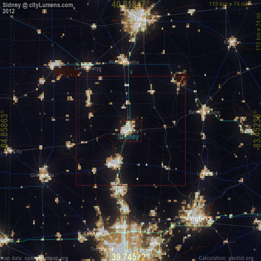
» Earth at Night: Flat Maps 2012, 2016