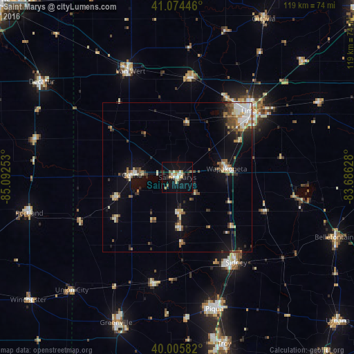
Saint Marys night lights from space
Night Light of Saint Marys (Ohio) from space (United States) Src. Average luminocity for 10x10km area is 21.1445% and for 50x50km: 8.8876%.
Analysis of Saint Marys night lights 2016
Square area 10x10 km:
 1.95%
1.95%90-99
3.73%80-89
4.55%70-79
1.46%60-69
1.46%50-59
3.25%40-49
1.46%30-39
2.11%20-29
2.76%10-19
19.16%0-9
58.12%Square area 50x50 km:
0.99%90-99
1.75%80-89
1.04%70-79
0.79%60-69
1.12%50-59
0.99%40-49
1.51%30-39
1.12%20-29
1.48%10-19
4.84%0-9
84.38%Clear (daylight) street map image can be seen on geolist.org.
Map coordinates:
41° 4' 28.1" North, 85° 5' 33.1" West
40° 32' 32.2" North, 84° 23' 21.8" West
40° 0' 21" North, 83° 41' 10.6" West
Some cities around Saint Marys sort by population:
• Lima
32.7 km =20.3 mi,  47°
47°
• Sidney
34.9 km =21.7 mi,  145°
145°
• Piqua
45.9 km =28.5 mi,  164°
164°
• Van Wert
39.9 km =24.8 mi,  335°
335°
• Celina
15.3 km =9.5 mi,  272°
272°
• Wapakoneta
16.8 km =10.4 mi,  80°
80°
• Delphos
33.7 km =20.9 mi,  6°
6°
• Portland
51.2 km =31.8 mi,  256°
256°
5169796 (p: 8,332)
Sources (retrieved 2019-11-25):
» Earth at Night: Flat Maps 2012, 2016