Troy night lights from space
Night Light of Troy (Ohio) from space (United States) Src. Average luminocity for 10x10km area is 47.3068% and for 50x50km: 18.9288%.
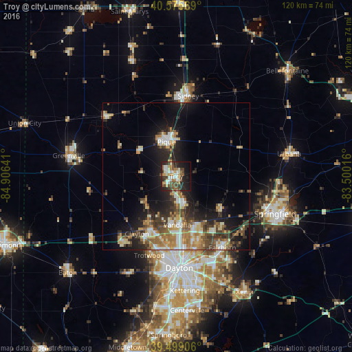
Analysis of Troy night lights 2016
Square area 10x10 km:
 7.79%
7.79%90-99
10.55%80-89
4.06%70-79
5.36%60-69
6.82%50-59
7.31%40-49
9.25%30-39
8.12%20-29
15.91%10-19
18.67%0-9
6.17%Square area 50x50 km:
2.26%90-99
3.1%80-89
2.49%70-79
2.47%60-69
3.1%50-59
2.6%40-49
2.88%30-39
3.76%20-29
5.38%10-19
10.67%0-9
61.29%Clear (daylight) street map image can be seen on geolist.org.
Map coordinates:
40° 34' 32.5" North, 84° 54' 23.1" West
40° 2' 22.2" North, 84° 12' 11.8" West
39° 29' 56.6" North, 83° 30' 0.6" West
Some cities around Troy sort by population:
• Huber Heights
22.8 km =14.2 mi,  162°
162°
• Piqua
12.2 km =7.6 mi,  344°
344°
• Vandalia
16.6 km =10.3 mi,  178°
178°
• Englewood
19.9 km =12.4 mi,  205°
205°
• Clayton
23.8 km =14.8 mi, 214°
• Tipp City
9.4 km =5.8 mi, 163°
• Union
18 km =11.2 mi, 209°
• New Carlisle
19 km =11.8 mi,  127°
127°
5174358 (p: 25,659)
Sources (retrieved 2019-11-25):
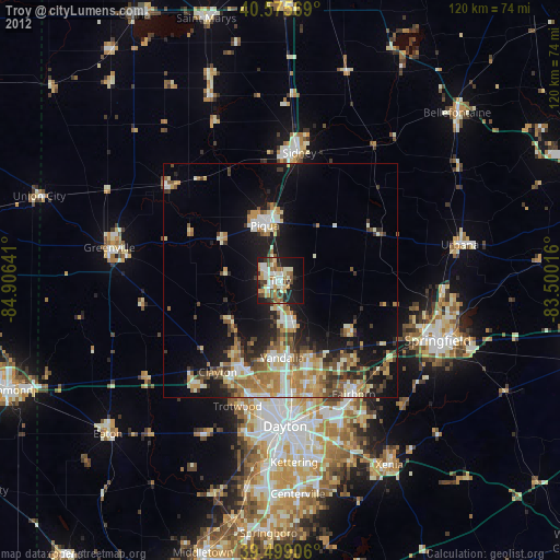
» Earth at Night: Flat Maps 2012, 2016