Shasta Lake night lights from space
Night Light of Shasta Lake (California) from space (United States) Src. Average luminocity for 10x10km area is 16.7062% and for 50x50km: 5.2748%.
Analysis of Shasta Lake night lights 2016
Square area 10x10 km:
 0%
0%90-99
0%80-89
0.32%70-79
2.92%60-69
4.38%50-59
3.73%40-49
3.73%30-39
3.9%20-29
5.52%10-19
21.43%0-9
54.06%Square area 50x50 km:
0.44%90-99
0.44%80-89
0.32%70-79
0.95%60-69
1.47%50-59
1.06%40-49
0.98%30-39
0.73%20-29
1.32%10-19
4%0-9
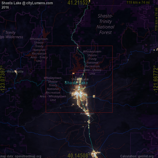
88.28%Clear (daylight) street map image can be seen on geolist.org.
Map coordinates:
41° 12' 41.5" North, 123° 4' 26.3" West
40° 40' 49.5" North, 122° 22' 15" West
40° 8' 42.3" North, 121° 40' 3.8" West
Some cities around Shasta Lake sort by population:
• Redding
10.6 km =6.6 mi,  189°
189°
• Chico
115.1 km =71.5 mi,  156°
156°
• Red Bluff
57 km =35.4 mi,  168°
168°
• Magalia
117.7 km =73.1 mi,  145°
145°
• Anderson
26.5 km =16.5 mi, 166°
• Yreka
119.4 km =74.2 mi,  349°
349°
• Orland
104.8 km =65.1 mi, 171°
• Corning
85.3 km =53 mi, 169°
5571109 (p: 10,159)
Sources (retrieved 2019-11-25):
» Earth at Night: Flat Maps 2012, 2016