Anderson night lights from space
Night Light of Anderson (California) from space (United States) Src. Average luminocity for 10x10km area is 19.4932% and for 50x50km: 5.5692%.
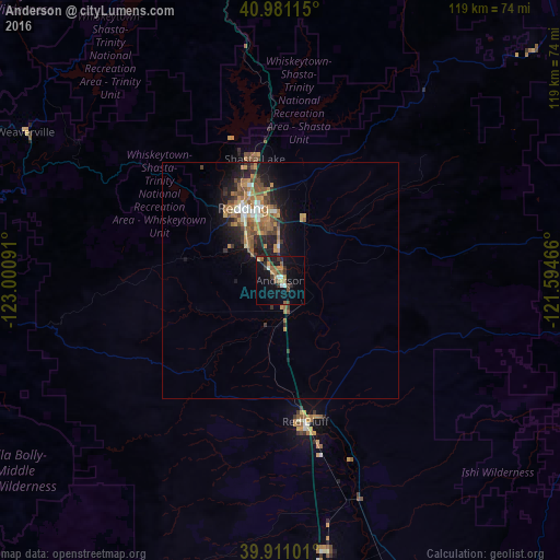
Analysis of Anderson night lights 2016
Square area 10x10 km:
 1.19%
1.19%90-99
2.21%80-89
0.51%70-79
2.89%60-69
3.91%50-59
3.91%40-49
3.57%30-39
4.93%20-29
2.04%10-19
18.2%0-9
56.63%Square area 50x50 km:
0.49%90-99
0.51%80-89
0.33%70-79
0.96%60-69
1.55%50-59
1.03%40-49
1%30-39
0.85%20-29
1.32%10-19
4.17%0-9
87.8%Clear (daylight) street map image can be seen on geolist.org.
Map coordinates:
40° 58' 52.1" North, 123° 0' 3.3" West
40° 26' 53.6" North, 122° 17' 52" West
39° 54' 39.6" North, 121° 35' 40.8" West
Some cities around Anderson sort by population:
• Redding
17.3 km =10.7 mi,  332°
332°
• Chico
89.1 km =55.4 mi,  153°
153°
• Paradise
95.7 km =59.5 mi,  143°
143°
• Red Bluff
30.4 km =18.9 mi,  170°
170°
• Magalia
93.5 km =58.1 mi, 139°
• Shasta Lake
26.5 km =16.5 mi,  346°
346°
• Orland
78.4 km =48.7 mi, 173°
• Corning
58.8 km =36.5 mi, 170°
5558857 (p: 10,217)
Sources (retrieved 2019-11-25):
» Earth at Night: Flat Maps 2012, 2016