Orland night lights from space
Night Light of Orland (California) from space (United States) Src. Average luminocity for 10x10km area is 8.5986% and for 50x50km: 1.086%.
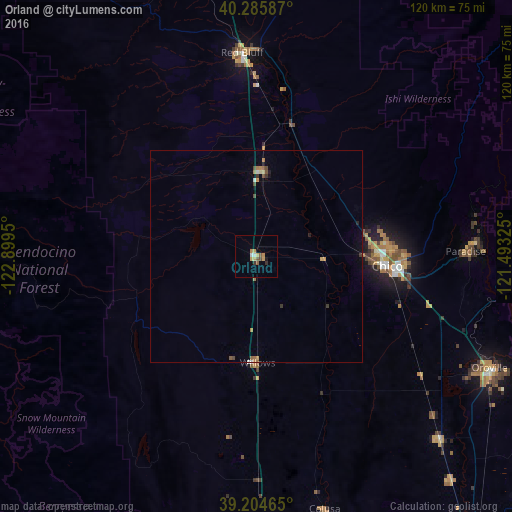
Analysis of Orland night lights 2016
Square area 10x10 km:
 0.51%
0.51%90-99
0.85%80-89
1.19%70-79
2.72%60-69
0.85%50-59
2.04%40-49
0.68%30-39
1.02%20-29
0.34%10-19
0.68%0-9
89.12%Square area 50x50 km:
0.06%90-99
0.07%80-89
0.1%70-79
0.23%60-69
0.22%50-59
0.19%40-49
0.19%30-39
0.17%20-29
0.09%10-19
0.19%0-9
98.48%Clear (daylight) street map image can be seen on geolist.org.
Map coordinates:
40° 17' 9.1" North, 122° 53' 58.2" West
39° 44' 50.6" North, 122° 11' 46.9" West
39° 12' 16.7" North, 121° 29' 35.7" West
Some cities around Orland sort by population:
• Chico
30.8 km =19.1 mi,  93°
93°
• Paradise
49.1 km =30.5 mi, 88°
• Red Bluff
48.1 km =29.9 mi,  355°
355°
• Magalia
53.3 km =33.1 mi,  82°
82°
• Corning
20.1 km =12.5 mi,  4°
4°
• Thermalito
58.4 km =36.3 mi,  116°
116°
• Willows
24.8 km =15.4 mi,  179°
179°
• Durham
35.7 km =22.2 mi,  108°
108°
5379698 (p: 7,550)
Sources (retrieved 2019-11-25):
» Earth at Night: Flat Maps 2012, 2016