Yreka night lights from space
Night Light of Yreka (California) from space (United States) Src. Average luminocity for 10x10km area is 11.125% and for 50x50km: 0.5591%.
Analysis of Yreka night lights 2016
Square area 10x10 km:
 0.32%
0.32%90-99
1.62%80-89
2.11%70-79
1.79%60-69
0.32%50-59
2.44%40-49
3.08%30-39
2.11%20-29
1.14%10-19
0.81%0-9
84.25%Square area 50x50 km:
0.01%90-99
0.06%80-89
0.1%70-79
0.08%60-69
0.05%50-59
0.11%40-49
0.15%30-39
0.11%20-29
0.1%10-19
0.05%0-9
99.18%Clear (daylight) street map image can be seen on geolist.org.
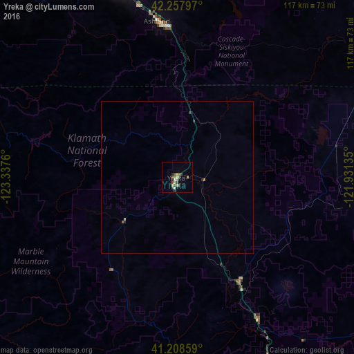
Map coordinates:
42° 15' 28.7" North, 123° 20' 15.4" West
41° 44' 7.5" North, 122° 38' 4.1" West
41° 12' 30.9" North, 121° 55' 52.9" West
Some cities around Yreka sort by population:
• Medford
68.7 km =42.7 mi,  343°
343°
• Klamath Falls
89.1 km =55.4 mi,  52°
52°
• Ashland
51.4 km =31.9 mi,  353°
353°
• Altamont
90.8 km =56.4 mi, 54°
• Central Point
74.9 km =46.5 mi, 341°
• Eagle Point
83.1 km =51.6 mi, 350°
• White City
80.2 km =49.8 mi, 346°
• Talent
58.1 km =36.1 mi, 347°
5574093 (p: 7,597)
Sources (retrieved 2019-11-25):
» Earth at Night: Flat Maps 2012, 2016