Chico night lights from space
Night Light of Chico (California) from space (United States) Src. Average luminocity for 10x10km area is 47.8474% and for 50x50km: 4.162%.
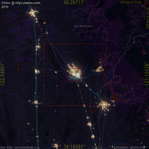

Analysis of Chico night lights 2016
Square area 10x10 km:
 6.49%
6.49%90-99
9.25%80-89
4.22%70-79
10.23%60-69
9.42%50-59
10.23%40-49
5.52%30-39
3.08%20-29
9.58%10-19
23.86%0-9
8.12%Square area 50x50 km:
0.3%90-99
0.43%80-89
0.27%70-79
0.95%60-69
0.73%50-59
0.76%40-49
0.6%30-39
0.8%20-29
0.98%10-19
3%0-9
91.18%Clear (daylight) street map image can be seen on geolist.org.
Map coordinates:
40° 16' 1.7" North, 122° 32' 26.2" West
39° 43' 42.6" North, 121° 50' 14.9" West
39° 11' 8.2" North, 121° 8' 3.7" West
Some cities around Chico sort by population:
• Paradise
18.8 km =11.7 mi,  79°
79°
• Oroville
33.8 km =21 mi,  134°
134°
• Magalia
24 km =14.9 mi,  67°
67°
• Orland
30.8 km =19.1 mi,  273°
273°
• Corning
36.6 km =22.7 mi,  307°
307°
• Thermalito
32.3 km =20.1 mi,  138°
138°
• South Oroville
35.5 km =22.1 mi, 136°
• Durham
9.7 km =6 mi,  160°
160°
5336269 (p: 90,316)
Sources (retrieved 2019-11-25):
» NASA, Earths city lights 1995
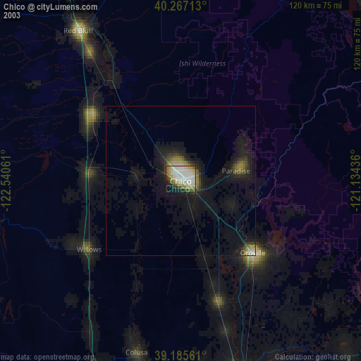
» NASA city lights 2003
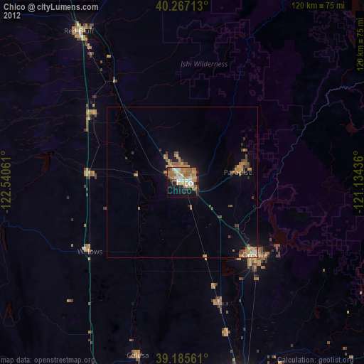
» Earth at Night: Flat Maps 2012, 2016