Schererville night lights from space
Night Light of Schererville (Indiana) from space (United States) Src. Average luminocity for 10x10km area is 68.7194% and for 50x50km: 49.2234%.
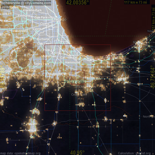
Analysis of Schererville night lights 2016
Square area 10x10 km:
 6.46%
6.46%90-99
12.24%80-89
8.84%70-79
14.46%60-69
22.45%50-59
24.83%40-49
6.63%30-39
4.08%20-29
0%10-19
0%0-9
0%Square area 50x50 km:
14.41%90-99
11.45%80-89
6.44%70-79
6.71%60-69
6.84%50-59
5.1%40-49
3.27%30-39
3.56%20-29
5.75%10-19
8.85%0-9
27.6%Clear (daylight) street map image can be seen on geolist.org.
Map coordinates:
42° 0' 12.8" North, 88° 9' 28.4" West
41° 28' 44.1" North, 87° 27' 17.1" West
40° 57' 0" North, 86° 45' 5.9" West
Some cities around Schererville sort by population:
• Merrillville
10.2 km =6.3 mi,  87°
87°
• Crown Point
10.1 km =6.3 mi,  132°
132°
• Highland
8.3 km =5.2 mi,  1°
1°
• Griffith
6.1 km =3.8 mi,  25°
25°
• Dyer
5.8 km =3.6 mi,  286°
286°
• Saint John
3.5 km =2.2 mi,  201°
201°
• Sauk Village
9.5 km =5.9 mi,  276°
276°
• Lynwood
8.8 km =5.5 mi,  307°
307°
4926170 (p: 28,791)
Sources (retrieved 2019-11-25):
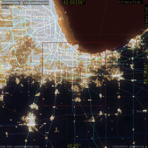
» Earth at Night: Flat Maps 2012, 2016