Lynwood night lights from space
Night Light of Lynwood (Illinois) from space (United States) Src. Average luminocity for 10x10km area is 85.3435% and for 50x50km: 57.6366%.
Analysis of Lynwood night lights 2016
Square area 10x10 km:
 21.43%
90-99
22.45%80-89
17.69%70-79
24.15%60-69
13.44%50-59
0.85%40-49
0%30-39
0%20-29
0%10-19
0%0-9
0%Square area 50x50 km:
20.16%90-99
13.45%80-89
6.79%70-79
7.47%60-69
7.44%50-59
4.85%40-49
3.28%30-39
3.69%20-29
5.12%10-19
7.51%0-9
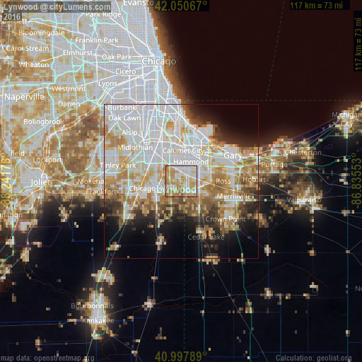
20.25%Clear (daylight) street map image can be seen on geolist.org.
Map coordinates:
42° 3' 2.4" North, 88° 14' 30.4" West
41° 31' 35.1" North, 87° 32' 19.1" West
40° 59' 52.4" North, 86° 50' 7.9" West
Some cities around Lynwood sort by population:
• Hammond
7.1 km =4.4 mi,  26°
26°
• Chicago Heights
8.4 km =5.2 mi,  254°
254°
• Lansing
4.3 km =2.7 mi,  359°
359°
• Munster
4.8 km =3 mi, 27°
• Highland
7.8 km =4.8 mi,  67°
67°
• Dyer
3.9 km =2.4 mi,  158°
158°
• Sauk Village
4.9 km =3 mi,  209°
209°
• Glenwood
5.6 km =3.5 mi,  288°
288°
4900739 (p: 9,280)
Sources (retrieved 2019-11-25):
» Earth at Night: Flat Maps 2012, 2016